Business context
The client works with geospatial data, where building footprints are core data for planning and analysis. Mapping them by hand from satellite images is slow, so footprint data is often missing or out of date. The client wanted to know whether AI could extract footprints from its satellite imagery before investing in a production system.
The challenge
A single high-resolution satellite scene can be larger than a gigabyte, which is too big to process in one go. Buildings must be found reliably across the whole scene, including at tile edges. The outlines must also keep their real-world coordinates to be usable as map data.
Our solution
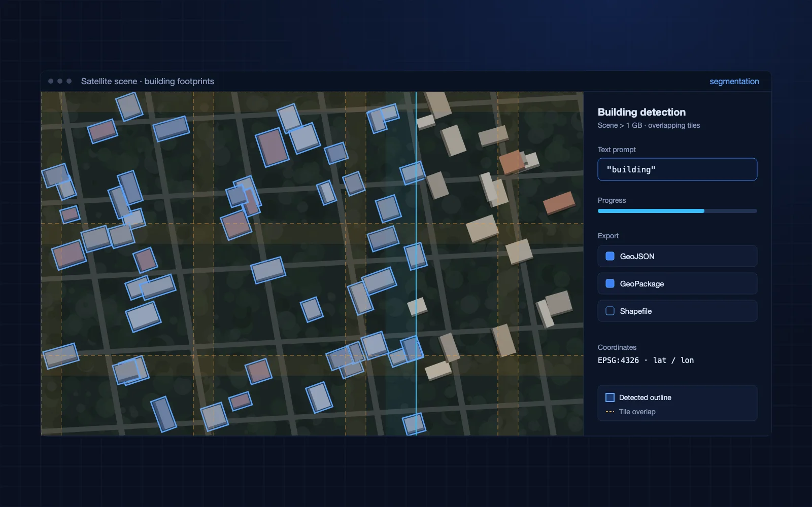
We built a pipeline that cuts a full satellite scene, over 1 GB in size, into overlapping tiles. It finds buildings in each tile and turns them into building outlines. We also tested finding buildings from a plain text prompt such as "building". Outlines are exported in open GIS formats.
- Tiling of very large satellite images into overlapping sections
- Building detection
- Building detection from a text prompt
- Export of building outlines as GeoJSON, GeoPackage and Shapefile
- A georeferenced test with outlines placed on a web map
Business impact
In a georeferenced test, the outlines were exported with real latitude and longitude and shown on a web map.
- Footprints come from imagery automatically, instead of being traced by hand
- Tiling lets the pipeline take on full satellite scenes, not only small crops
- Open GIS formats let the outlines go into any GIS tool
- Text-prompt detection points to finding other feature types without new training
Engagement
A proof of concept, to validate the approach on the client's imagery before a production build.