Telemetry without spatial context
Operations data arrives as tables and charts, with no view of the asset, site or network it belongs to.

We build the 3D and geospatial layer of digital twins: assets, sites and networks in 3D and on the map, connected to live operational data, linked in a knowledge graph and ready for simulation.
The problem
Operations data arrives as tables and charts, with no view of the asset, site or network it belongs to.
IoT and network data often lacks a precise link to the physical asset, room or route it describes.
Network, real estate, BIM and GIS systems each use their own identifiers, so one asset has many names.
Simulation solvers need clean geometry of terrain, buildings and assets, which GIS data alone does not provide.
What we build
Delivered as a module inside your product or alongside your enterprise stack, on open standards and without lock-in.
3D and map views of towers, sites and networks with live status, KPIs and alerts.
A knowledge graph that links assets, spaces and sensors on standard ontologies, so data from different systems lines up.
Clean, simulation-ready 3D models of terrain, buildings and assets for CAE and physics-based simulation.
Plans and actual progress played back over time, with cross-sections and legends.
Case studies
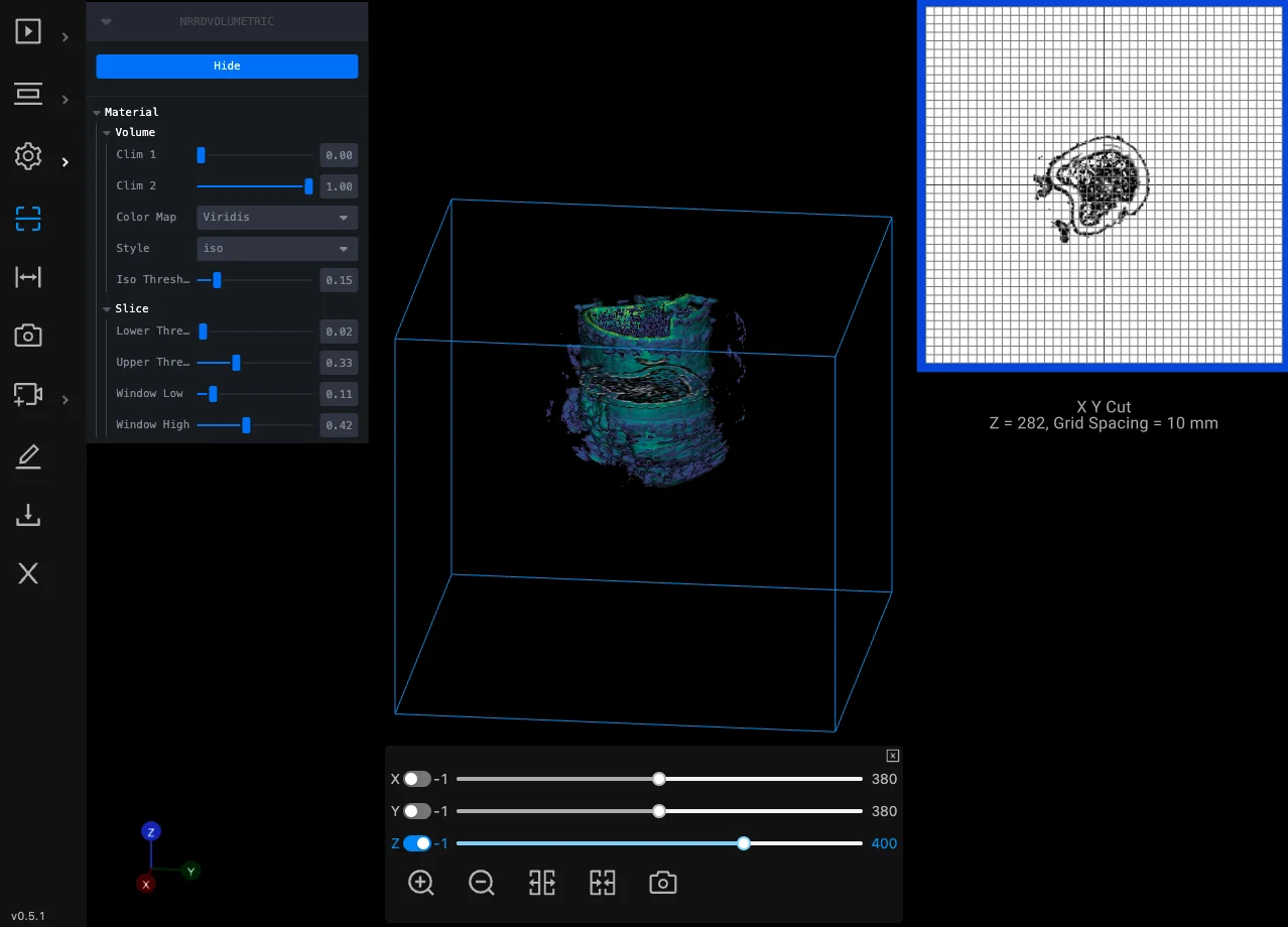
Oil & gas
A multi-year project: laser-scan volumetric data of wells inspected and measured in the browser, with reports and data management.
Read case study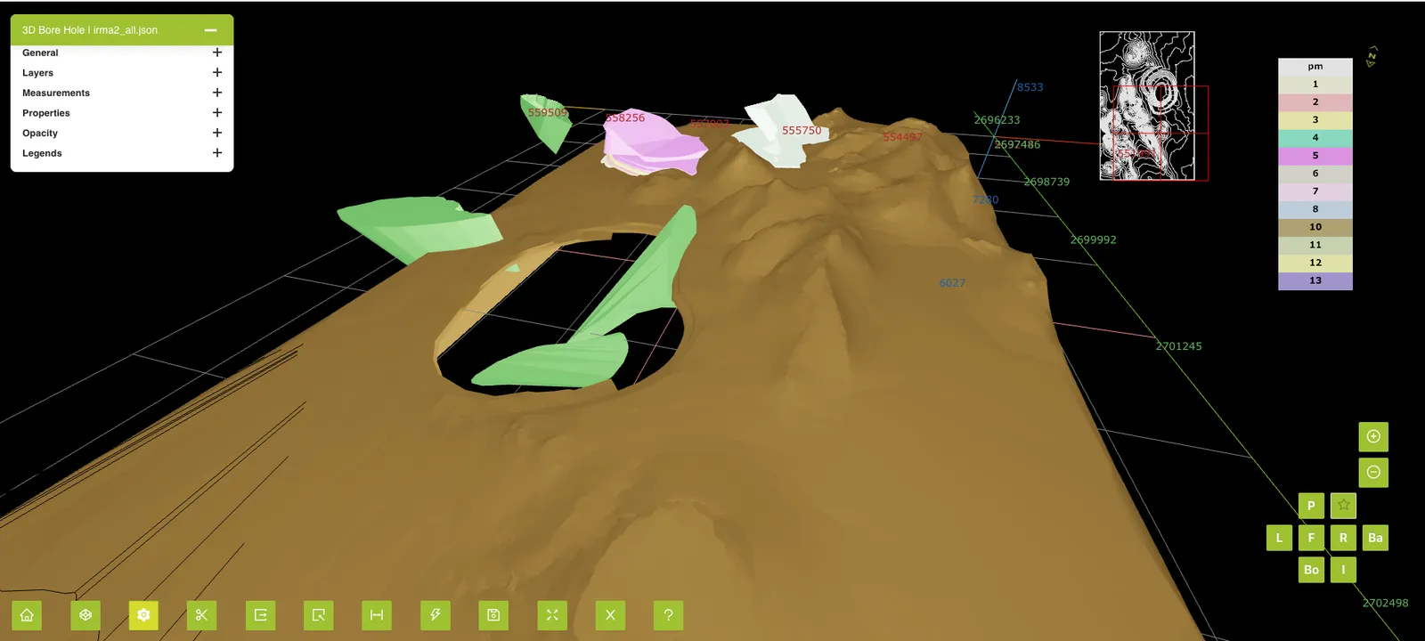
Mining
A browser-based 4D viewer that plays mine plans and actual progress back over time.
Read case study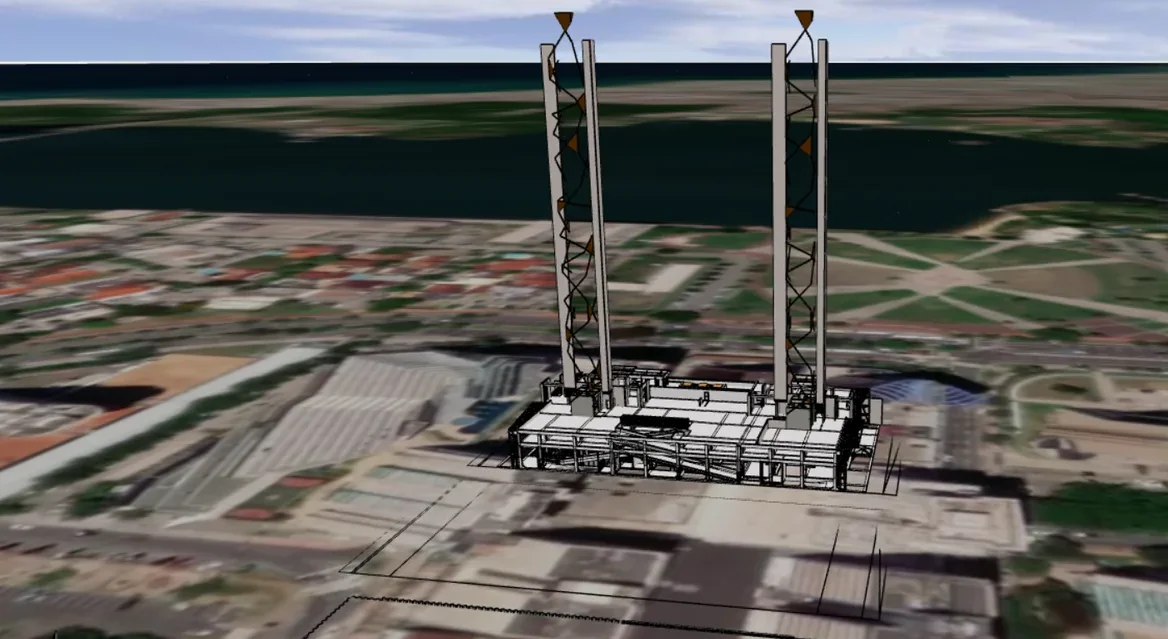
GIS / Urban planning
Import, export and visualization of 3D building digital twins on a GIS map, inside an existing planning product.
Read case study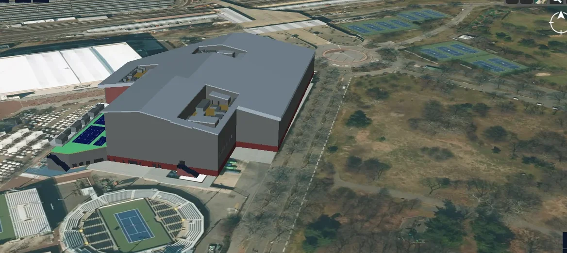
Telecom
An end-to-end platform to manage the physical and virtual assets of a 5G network in a 3D geospatial environment.
Read case study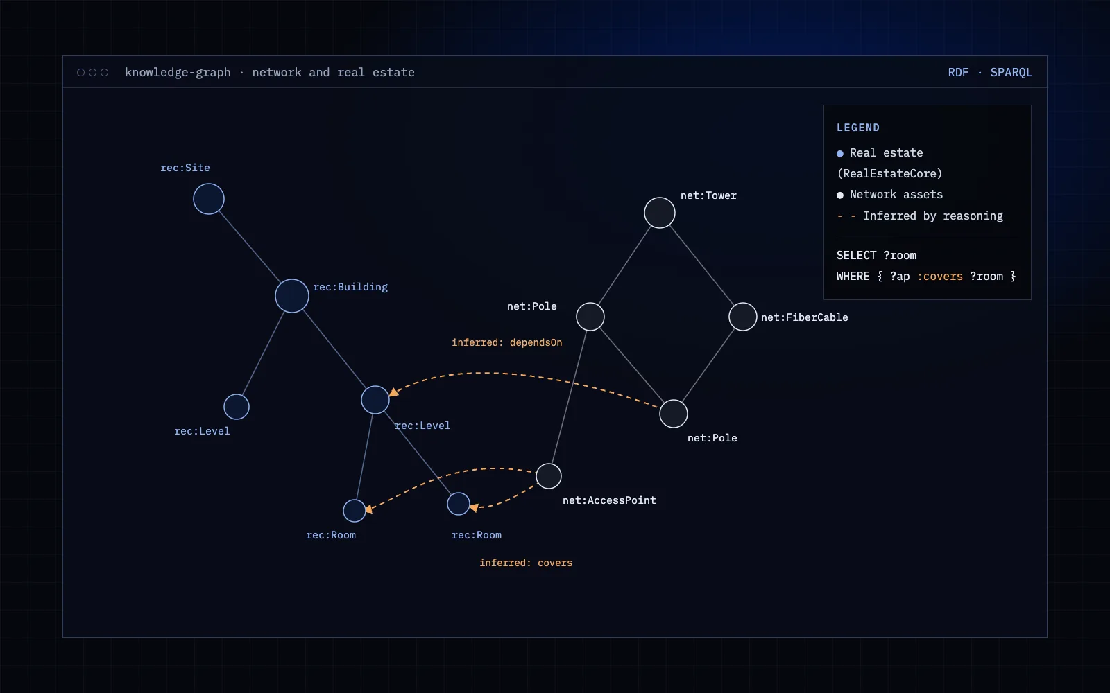
Telecom
A knowledge graph on AWS Neptune linking telecom network assets with the real estate they sit on, built on the RealEstateCore ontology with reasoning.
Read case study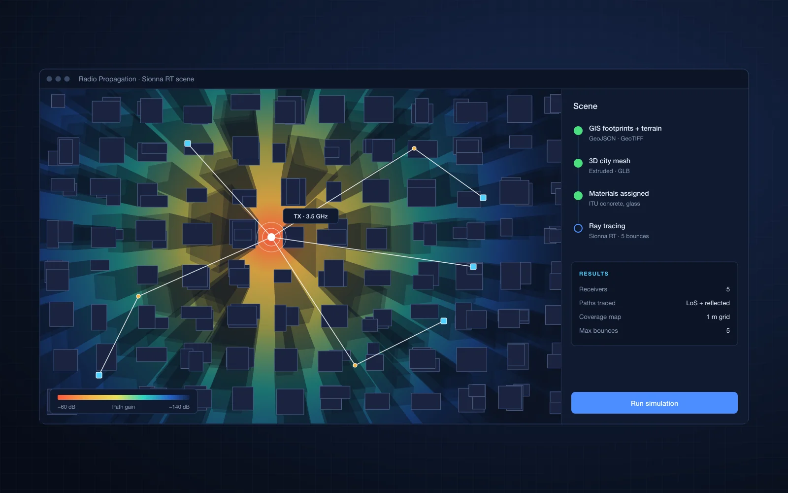
Telecom
3D city meshes generated from GIS data for physics-based radio propagation simulation with NVIDIA Sionna RT.
Read case studyCapabilities
Technologies and standards
Prolincur is a member of NVIDIA Inception, NVIDIA's program for startups.
Industries
How we deliver
30 minutes with an engineer, under NDA if you need one.
1 to 3 weeks: requirements workshop, code and data review, and a proof of concept for the risky parts.
Phased plan, team, estimate and engagement model.
Two to three week iterations, with a demo every sprint.
FAQ
No. We build the 3D, map and data-linking layer on top of the platforms and data sources you already use.
It links assets, spaces, sensors and network elements across systems, so one query can answer questions that span them, for people and for AI agents.
Yes. One site or asset type is a good way to prove value before scaling up.
Tell us what you are building. You will talk to a software engineer from the first call.