Plans and progress in separate tools
Comparing as-planned with as-mined data usually means switching between systems and exports.

We build 3D and 4D software for mining software vendors: terrain, pit designs and survey data, visualized together and over time, in the browser.
Proof
Challenges we solve
Comparing as-planned with as-mined data usually means switching between systems and exports.
Surfaces, contours and hundreds of thousands of objects push ordinary web viewers past their limits.
A static 3D view cannot show how a mine develops week by week.
DXF, GeoJSON, surfaces and survey files rarely arrive in the same shape.
What we build
Specialist modules that fit into your existing product, built by engineers who know this data.
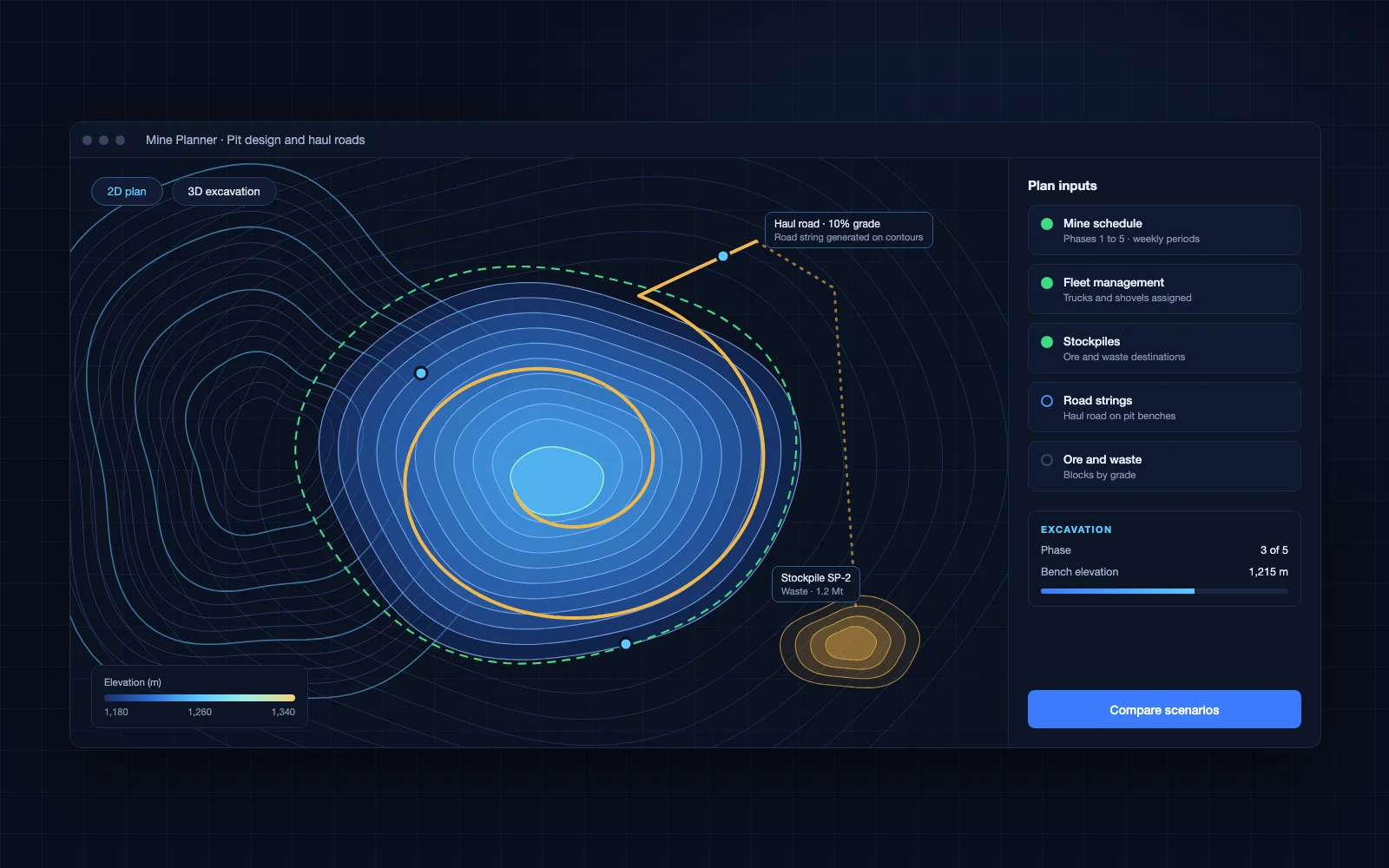
Terrain and mine objects animated over time, with filters and playback.
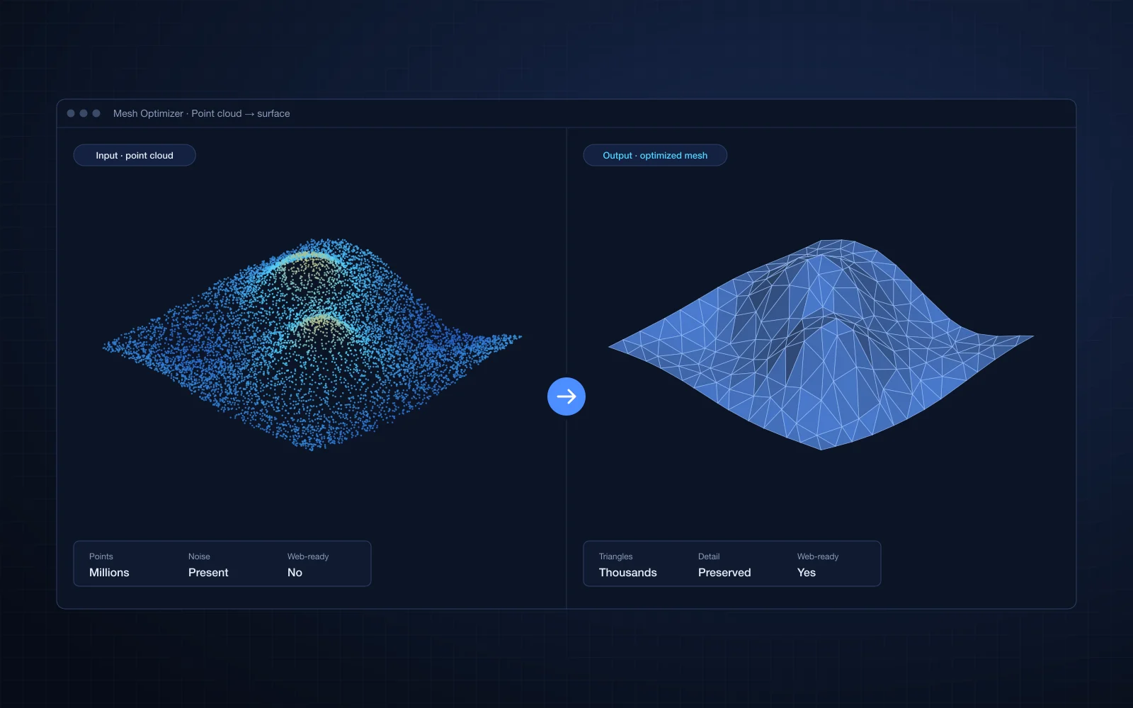
3D viewers and configuratorsContours meshed into terrain, cross-sections, and surface cleanup and simplification.
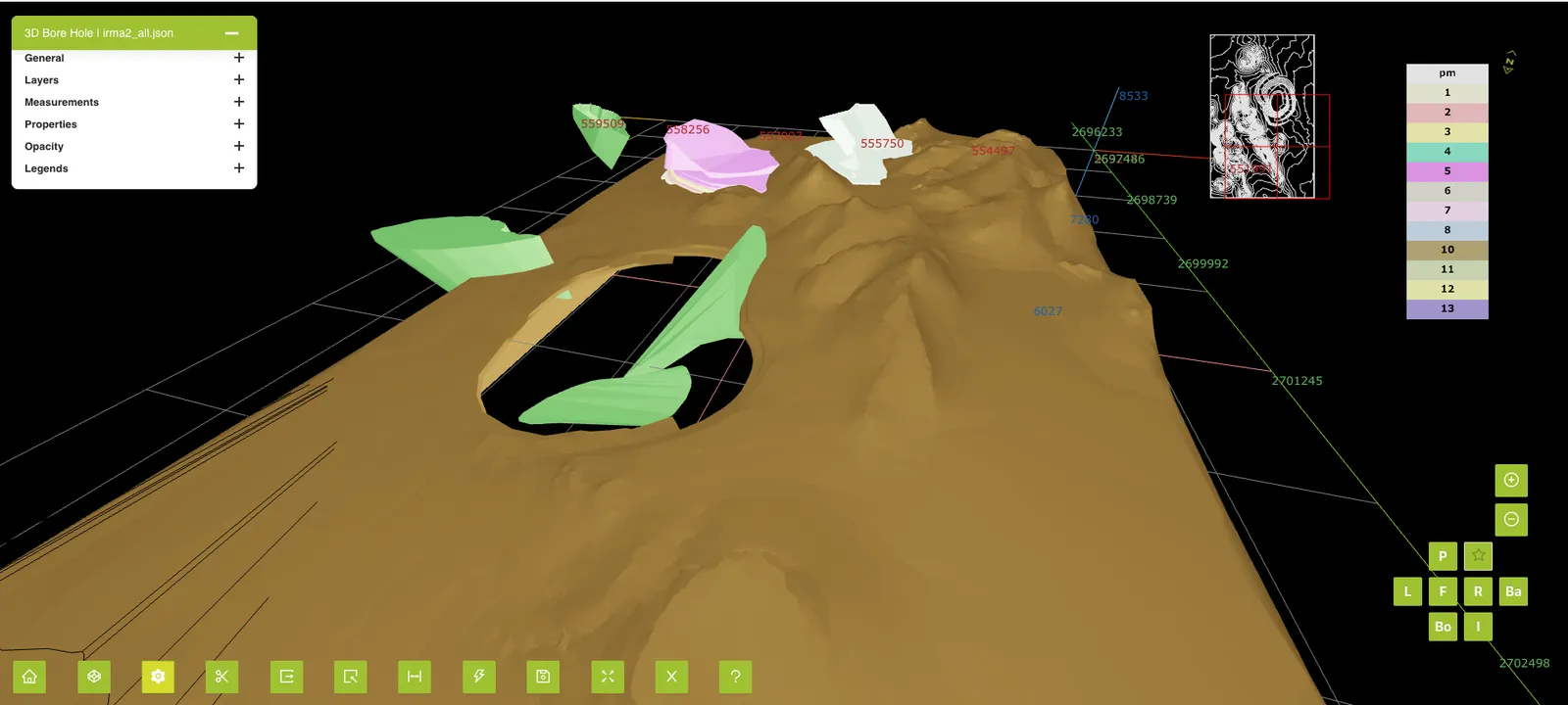
Geometry and CAD kernel engineeringGeoJSON, DXF and survey data brought into one coordinate system and one view.
GIS and geospatial platformsLegends, snapshots and exports that fit into engineers’ existing workflows.
3D viewers and configuratorsData and technologies
We had some very advanced development requirements. Prolincur completed them successfully and on time… also added functionality that made the software even better than we envisioned.
FAQ
We design rendering and data loading around your data, so large terrains and object counts stay interactive in the browser.
Yes. We usually build a specialist module that plugs into your product and codebase.
We work with common formats such as DXF and GeoJSON, and build importers for others as needed.
Related industries
Tell us about the module you need. You will talk to an engineer from the first call.