Drawings with no real-world location
DWG and DXF floor and site plans use local coordinates, so they cannot be placed on a map without manual redrawing.

We build software that brings CAD drawings, BIM models, point clouds and sensor data onto the map, in the right place and at full scale, in the browser.
The problem
DWG and DXF floor and site plans use local coordinates, so they cannot be placed on a map without manual redrawing.
Multi-GB point clouds, city models and terrain stall web viewers unless they are tiled and streamed.
WGS84, projected grids and project-local coordinates rarely line up across CAD, BIM and GIS data.
BIM has exact indoor geometry, GIS has simplified footprints, and scans have millions of unstructured points.
What we build
Delivered as a module inside your product or alongside your enterprise stack, on open standards and without lock-in.
DWG and DXF floor and site plans converted into geo-referenced map features and vector tiles, keeping layers and styles.
IFC models converted to 3D Tiles and shown in a self-hosted web viewer that keeps BIM properties.
Point clouds and scans turned into optimized meshes and streamed to the browser, with measurement.
Sunlight and shadows on 3D city models by date and time, so planners can check proposed buildings before approval.
Large datasets processed, tiled and rendered with CesiumJS, Mapbox, PostGIS and 3D Tiles.
Case studies
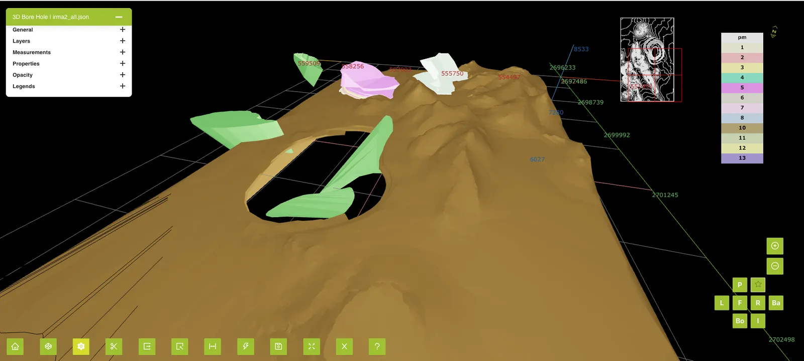
Mining
A browser-based 4D viewer that plays mine plans and actual progress back over time.
Read case study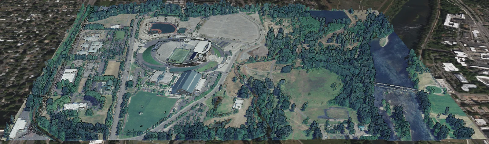
Reality capture / Survey
An automated 3D Tiles pipeline and streaming service that renders point clouds several GB in size in the browser.
Read case study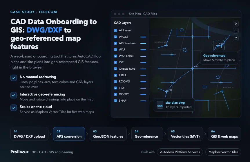
Telecom
AutoCAD DWG and DXF floor and site plans turned into geo-referenced map features with Autodesk Platform Services.
Read case study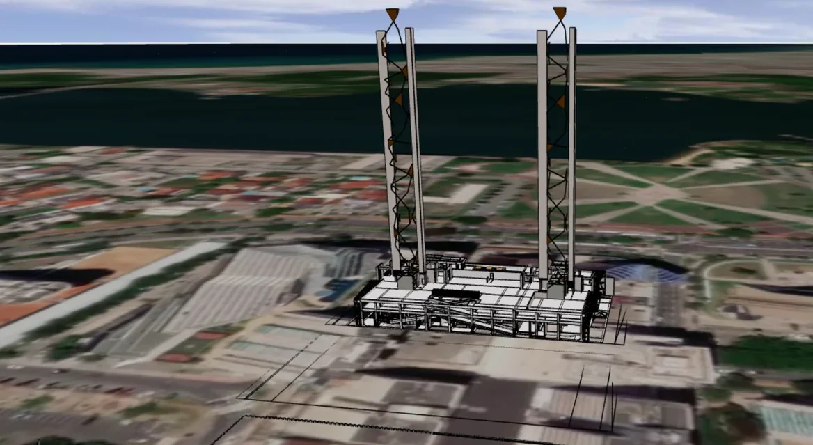
GIS / Urban planning
Import, export and visualization of 3D building digital twins on a GIS map, inside an existing planning product.
Read case study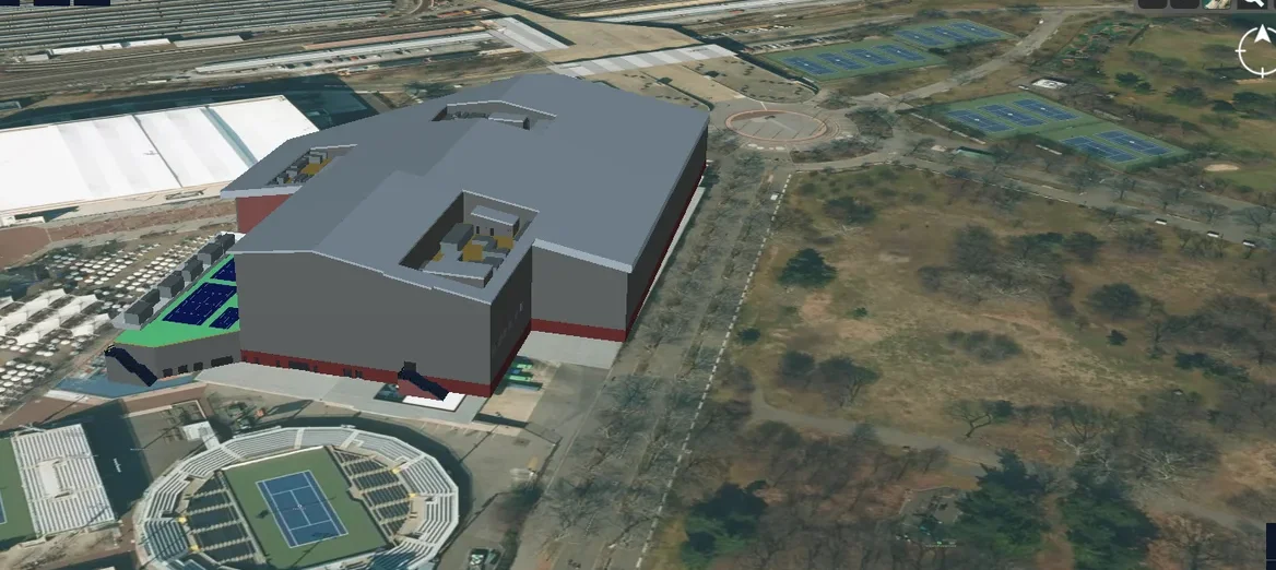
Telecom
An end-to-end platform to manage the physical and virtual assets of a 5G network in a 3D geospatial environment.
Read case study
Telecom
3D city meshes generated from GIS data for physics-based radio propagation simulation with NVIDIA Sionna RT.
Read case studyCapabilities
Technologies and standards
Industries
How we deliver
30 minutes with an engineer, under NDA if you need one.
1 to 3 weeks: requirements workshop, code and data review, and a proof of concept for the risky parts.
Phased plan, team, estimate and engagement model.
Two to three week iterations, with a demo every sprint.
FAQ
Yes. Our CAD to Map work converts DWG and DXF drawings into geo-referenced features and vector tiles, keeping layers, colors and line styles.
With tiling and streaming, multi-GB point clouds and city-scale models render smoothly, because only what is visible is loaded.
No. We build on open standards and deliver self-hosted, on-prem or inside your own product.
Tell us what you are building. You will talk to a software engineer from the first call.