Datasets too large to serve
City-scale data slows maps down unless it is processed and tiled properly.

We build geospatial platforms that process, tile and serve large spatial datasets, and render them in 2D and 3D for planners and analysts.
Proof
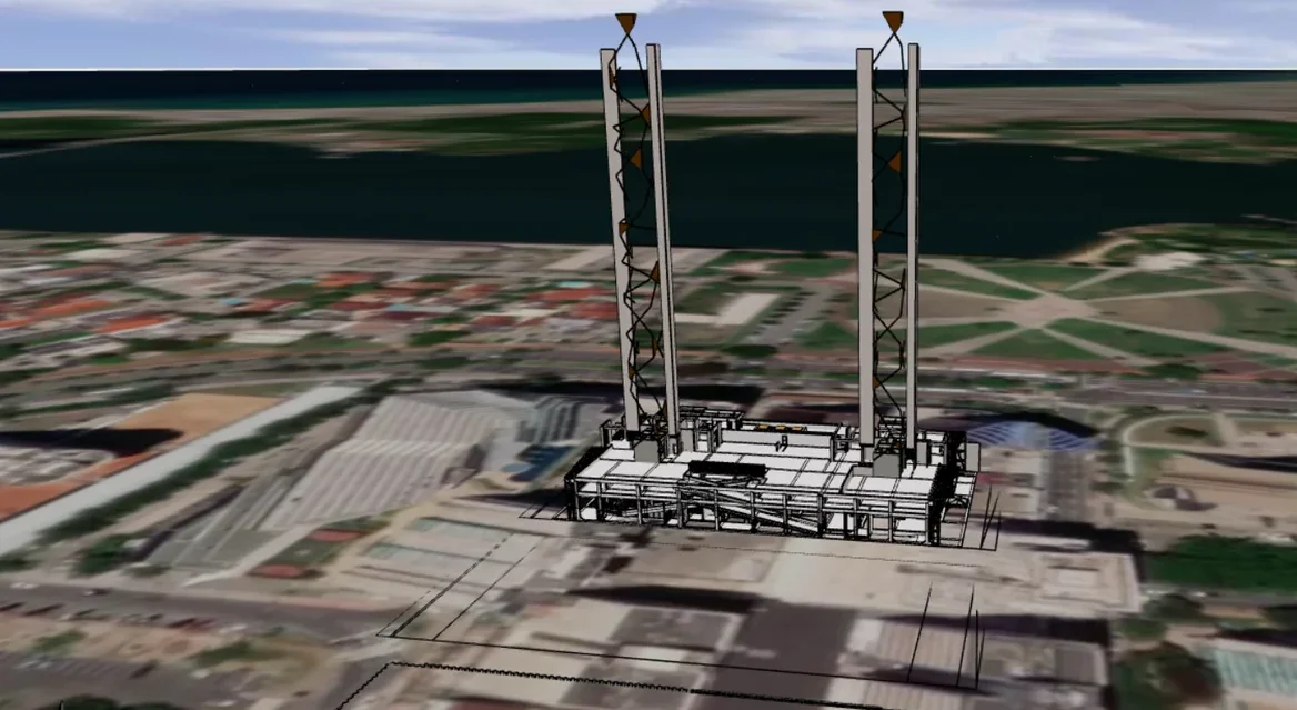
GIS / Urban planning
Import, export and visualization of 3D building digital twins on a GIS map, inside an existing planning product.
Read case study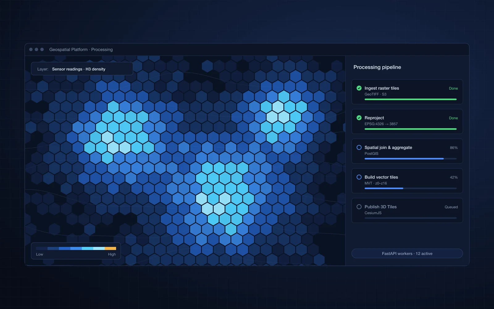
GIS / Urban planning
Large geospatial datasets processed, analyzed and rendered in an interactive web application.
Read case study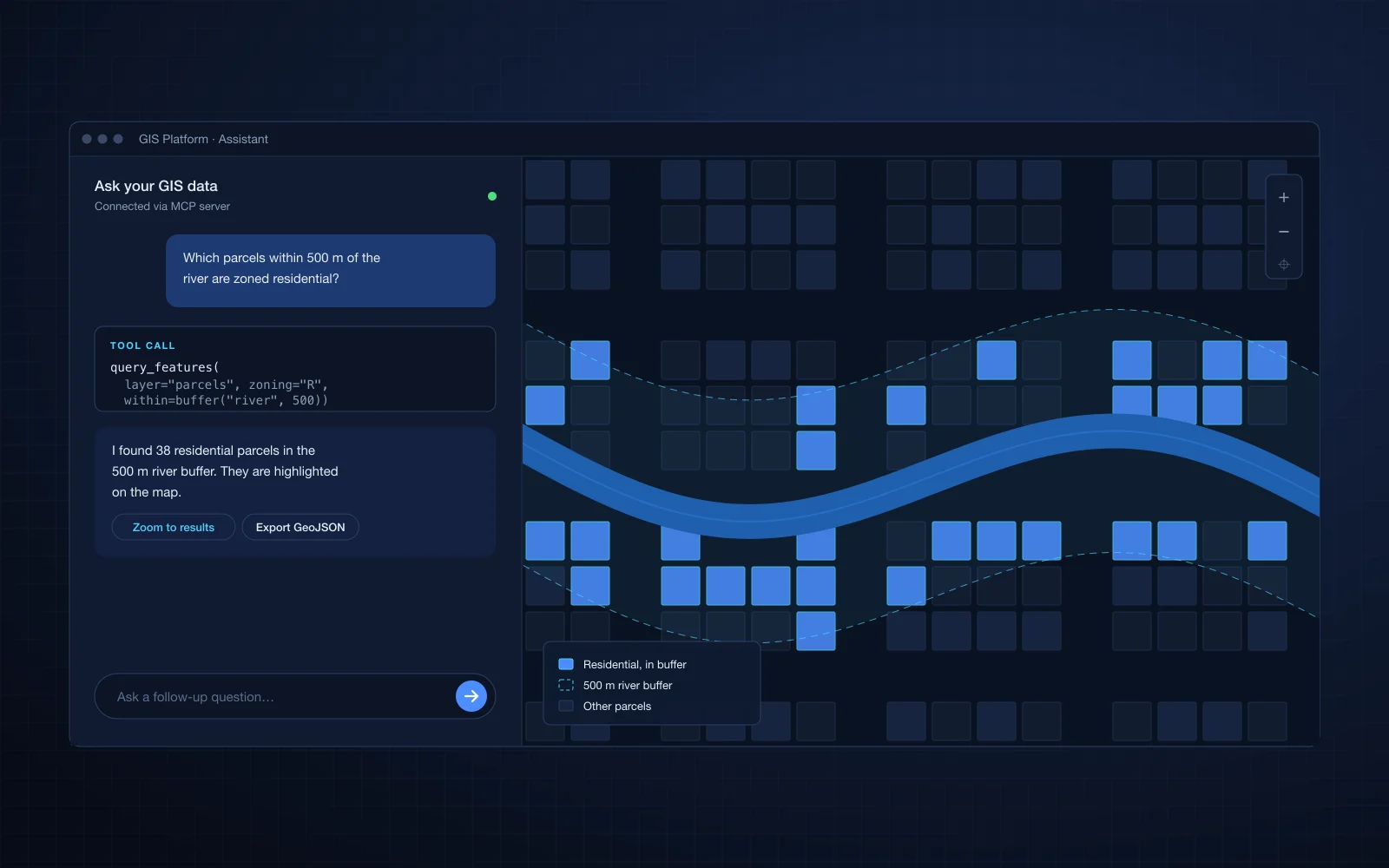
GIS / Urban planning
Existing GIS data and analytics exposed as an MCP server, with a conversational interface in the product.
Read case studyChallenges we solve
City-scale data slows maps down unless it is processed and tiled properly.
Planners need terrain, buildings and data layers together in one view.
Users without GIS training struggle to get answers from spatial data.
Shapefiles, CityGML, GeoTIFF and CAD drawings all need to work together.
What we build
Specialist modules that fit into your existing product, built by engineers who know this data.
Ingestion, tiling and serving with PostGIS, GeoServer, vector tiles and 3D Tiles.
GIS and geospatial platformsBuildings, terrain and property layers on one interactive map, with sun and shadow analysis by date and time.
GIS and geospatial platformsAI interfaces that let users ask questions of spatial data in plain language.
GIS and geospatial platformsConverters between GIS, CAD and 3D formats.
CAD, BIM and Autodesk APSCase studies
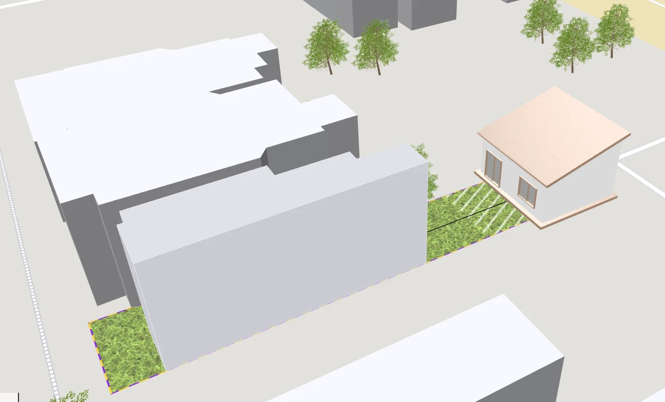
AEC / Construction
A web app to visualize and design house extensions that automatically respect local regulations.
Read case study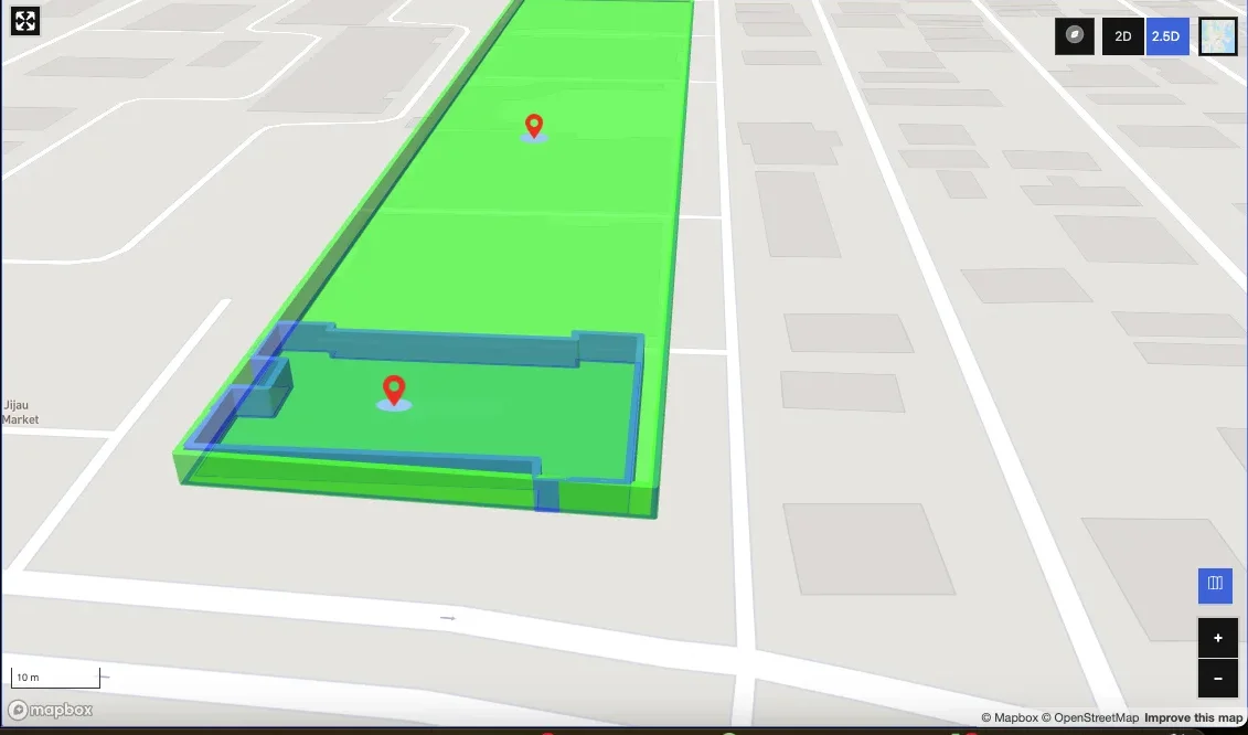
GIS / Urban planning
A Mapbox drawing and editing tool to create, import and manage custom real estate features on a map.
Read case study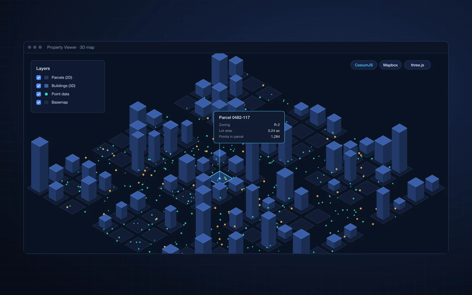
GIS / Urban planning
3D data, 2D property data and large point sets rendered together on maps for a USA-based client.
Read case study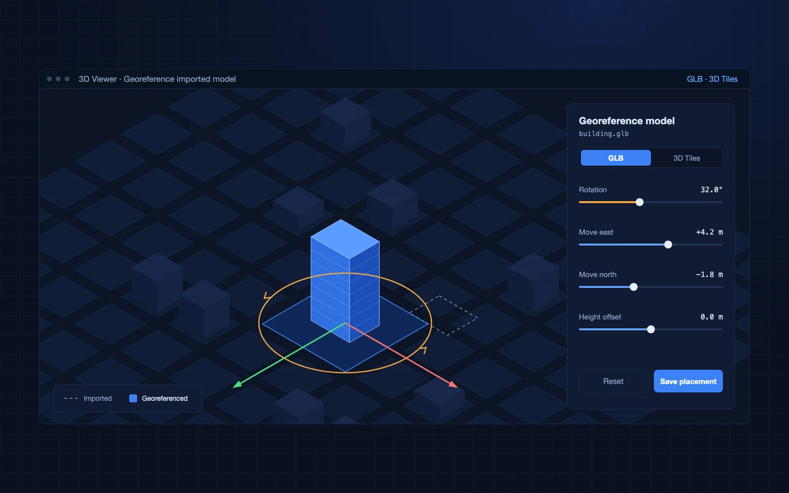
GIS / Urban planning
A workflow to import GLB building models, georeference them visually on the map and use them in building design.
Read case study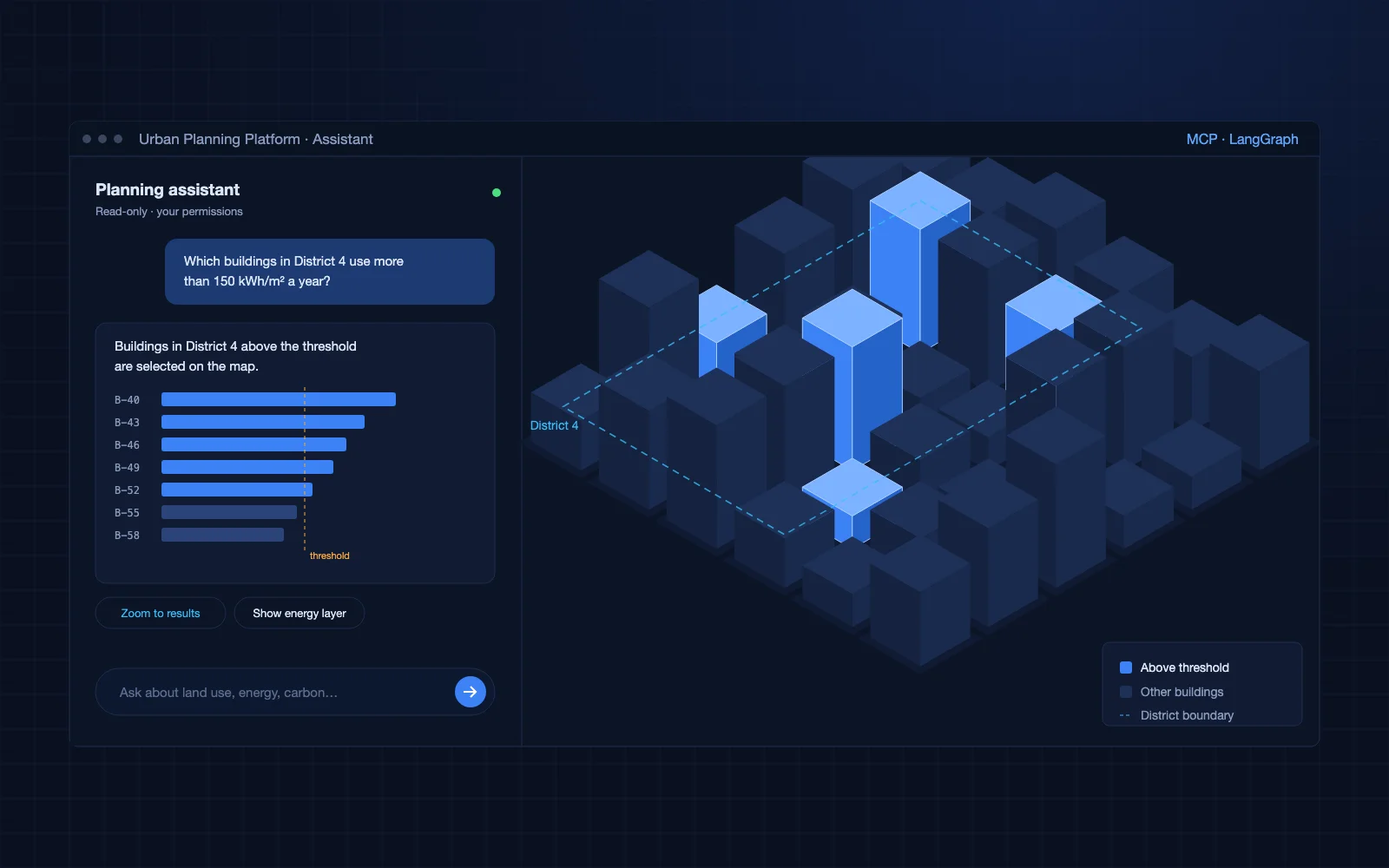
GIS / Urban planning
A chat assistant and plain-English search that let planners ask questions about city data and control the 3D map.
Read case study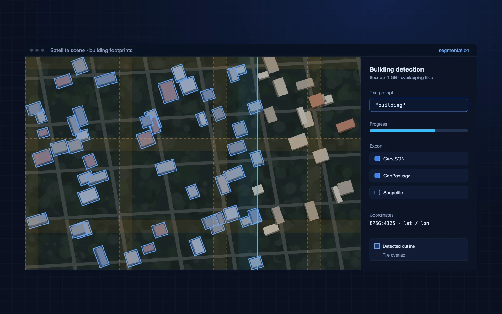
GIS / Urban planning
A proof of concept that finds building outlines in very large satellite images and exports them as map data.
Read case studyData and technologies
FAQ
CesiumJS, Mapbox, OpenLayers and three.js, chosen to fit your product.
Often, yes. Changes to tiling, indexing and rendering can make large datasets feel fast again.
Yes. We build AI interfaces, such as MCP servers, over GIS data.
Related industries
Tell us about the module you need. You will talk to an engineer from the first call.