Business context
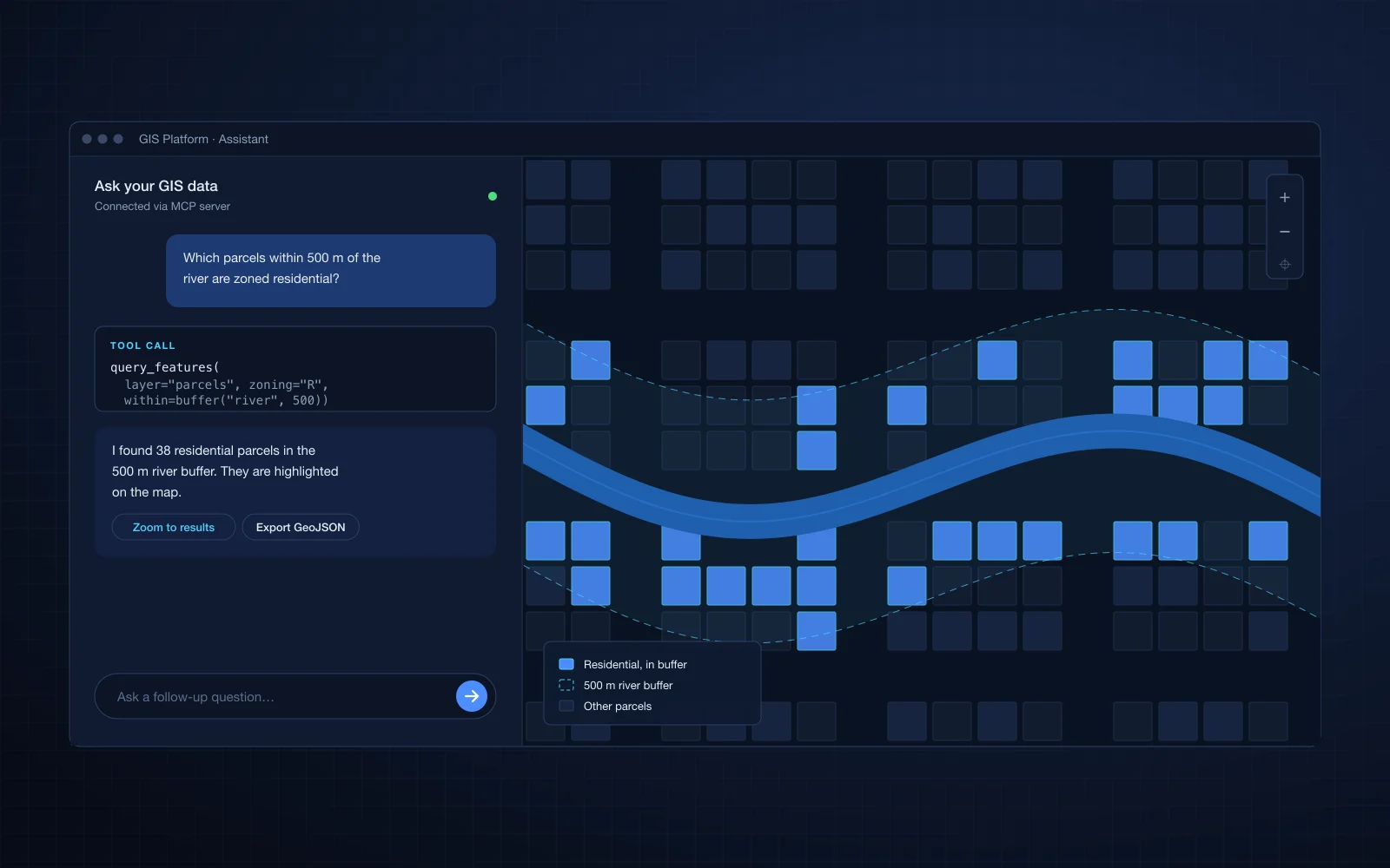
The client is a geospatial SaaS company. Its product turns large geospatial datasets into analysis that its users explore on an interactive map. The product only works if the data is processed correctly and the map stays responsive, since users judge the product by both.
The challenge
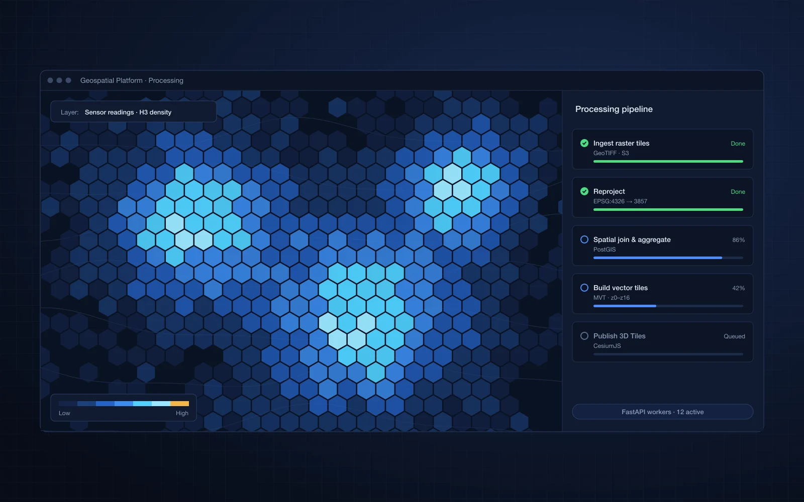
The product had to process and analyze large geospatial datasets and still feel fast on the map. Raw datasets of this size cannot be sent to a browser and drawn as is. Heavy analysis had to run on the server, and the results had to reach the client in a form that renders quickly in both 2D and 3D.
Our solution
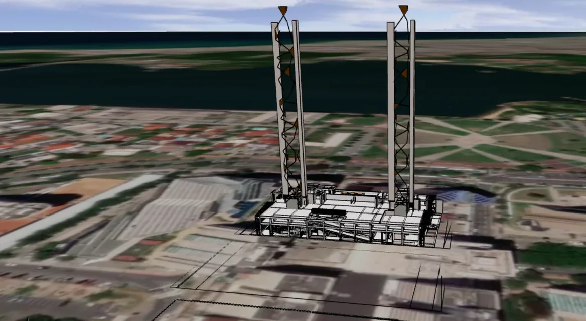
We built the backend and frontend of the interactive geospatial application. PostGIS stores and processes the spatial data, FastAPI and Node.js services serve it, and the React frontend renders it in 2D with Mapbox and in 3D with CesiumJS.
- Spatial data processing and analysis in PostGIS
- API services in FastAPI and Node.js
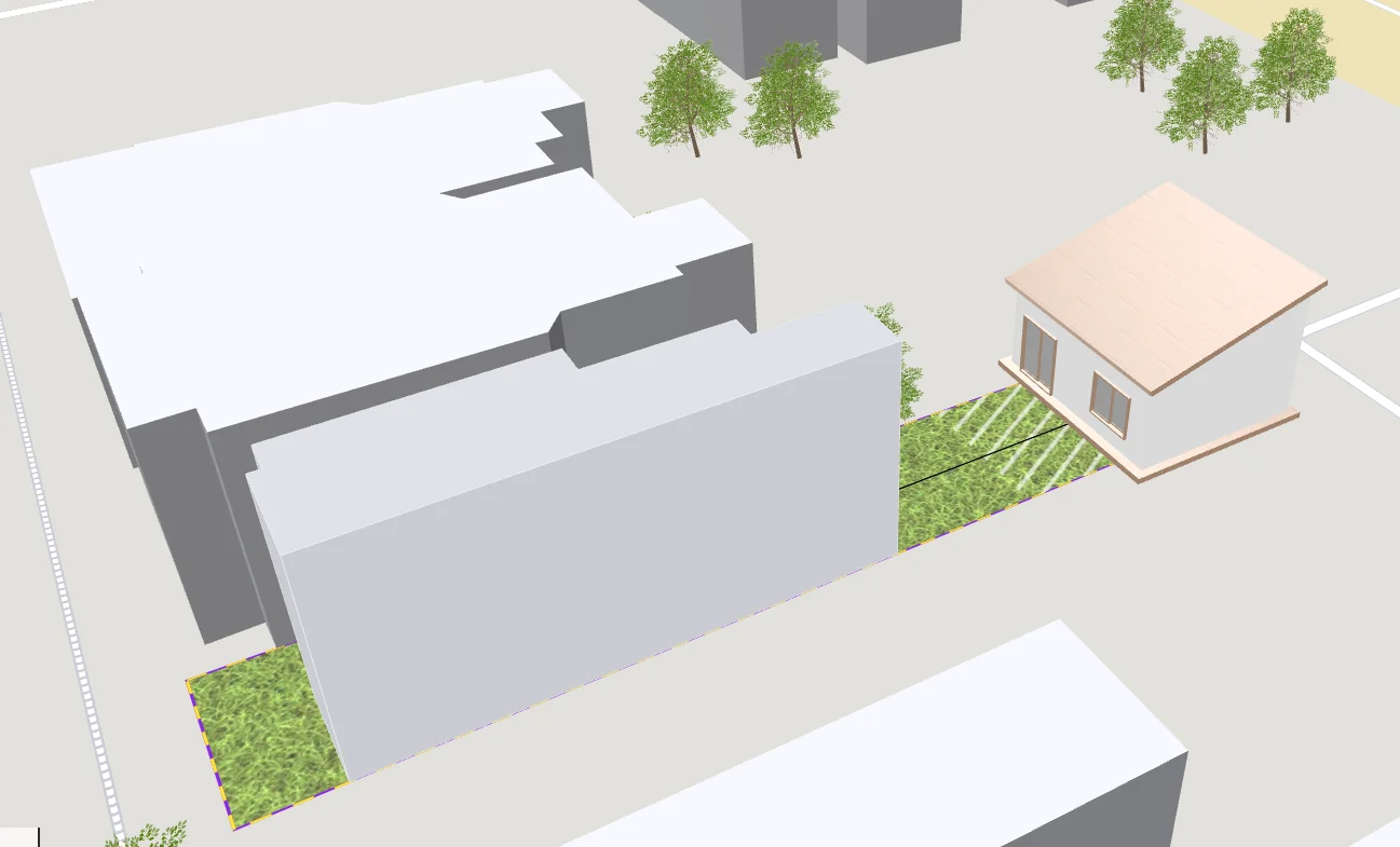
- 2D maps with Mapbox and 3D scenes with CesiumJS
- React frontend for interactive analysis
- Rendering of large processed datasets in the browser
Business impact
- End users explore analysis of large datasets directly in the product, on an interactive map
- Analysis runs in the database, so the product can take on larger datasets without moving work into the browser
- The same data serves 2D map and 3D scene views, giving the client one platform for both use cases
- Separate processing and presentation layers let the client extend either side on its own