Business context
The client is a real estate technology company whose product describes properties on a map. Building footprints and other site features are its core data. Much of that information existed as CAD drawings, images and files in other GIS formats, none of it tied to a location on the map.
The challenge
The client needed an application to create custom real estate features, such as building footprints, on a map. Users had to draw new features and also bring in existing ones from many formats. 2D CAD drawings and images carry no real-world coordinates, so they had to be placed and aligned on the map before they could be used.
Our solution
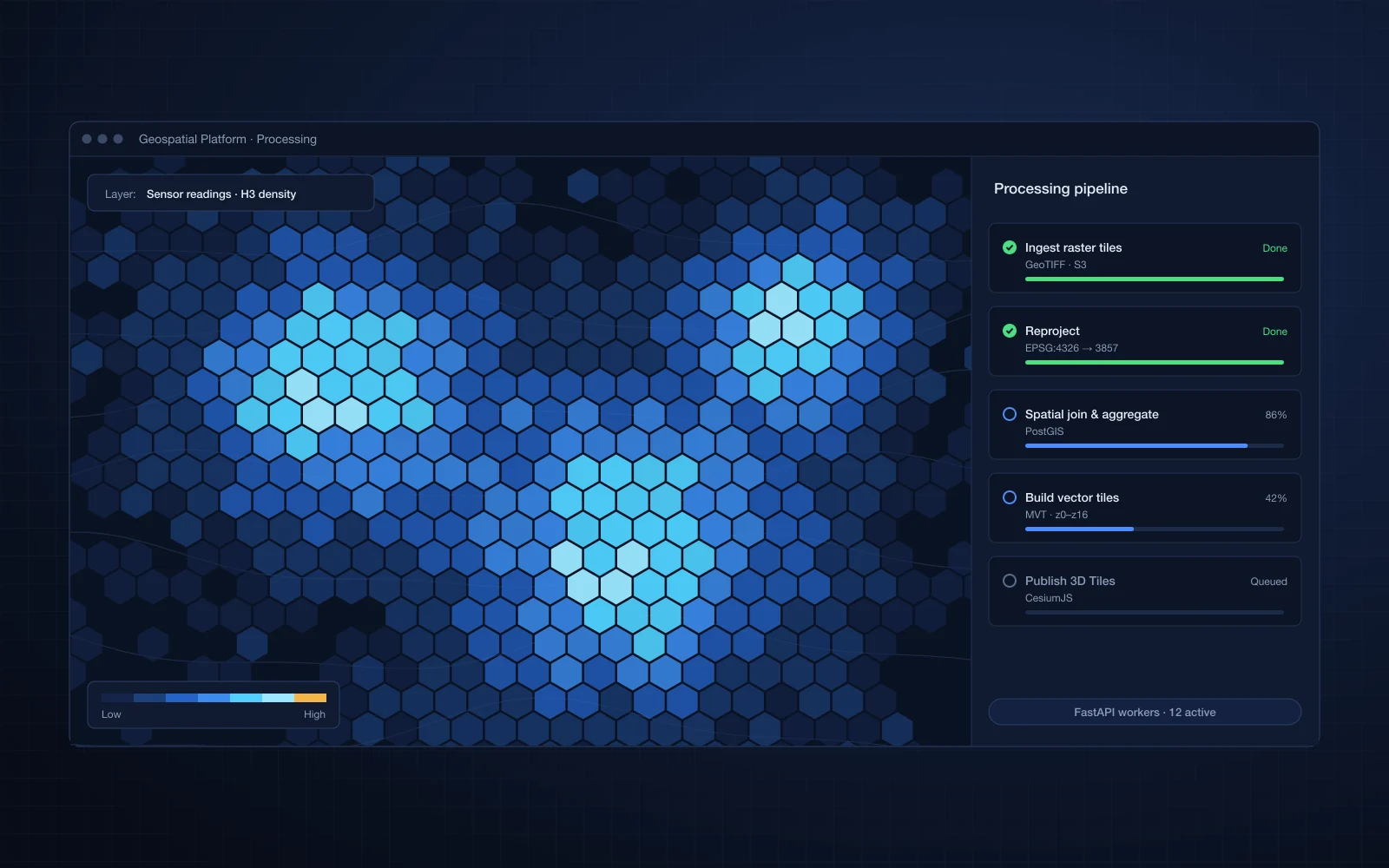
We built a Mapbox-based drawing and editing tool, with PostGIS as the database for the geospatial content. It works in 2D, 2.5D and 3D, and exchanges data through open formats such as GeoJSON, KML and GLB.
- Tools to create polygons, circles, line strings and points
- Custom properties, fill, outline color and transparency on each feature
- Export to GeoJSON or KML; import from GeoJSON, KML, KMZ and SHP
- Images and 2D CAD (DXF and DWG) imported and overlaid on the map, with geo-referencing
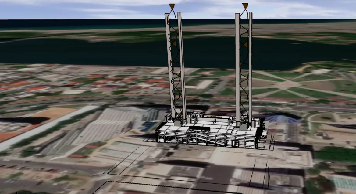
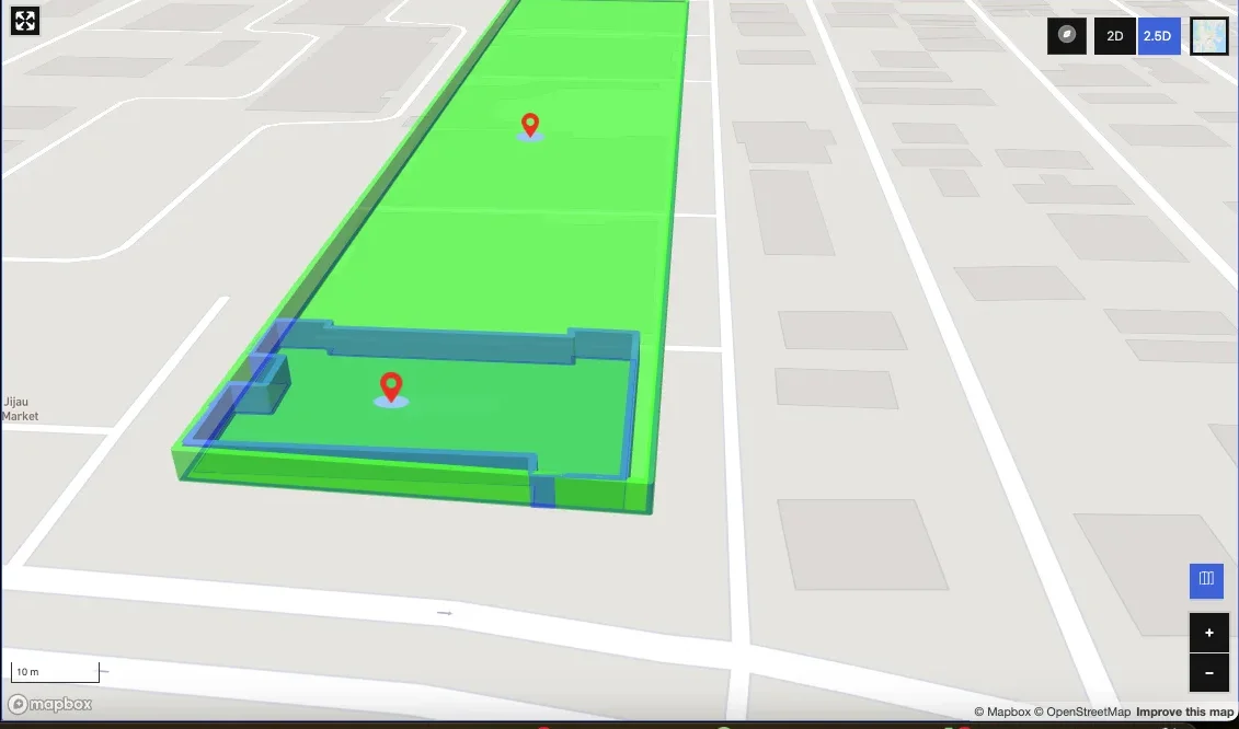
- 2.5D extrusion of polygons and 3D GLB rendering on the map
- GeoTIFF support and multi-level buildings
Business impact
- Property teams reuse the drawings and files they already hold, instead of tracing features by hand
- Features carry their own properties, so the map is a source of property data, not only a picture
- Open export formats let the client pass features to other GIS tools and partners without conversion work
- 3D and multi-level views help users understand a building's shape and floors from the map alone