Business context
The client is a property data company in the USA. Its business depends on giving users a clear view of property information. That view is far richer when 2D parcels, 3D data and large point sets appear together on one map.
The challenge
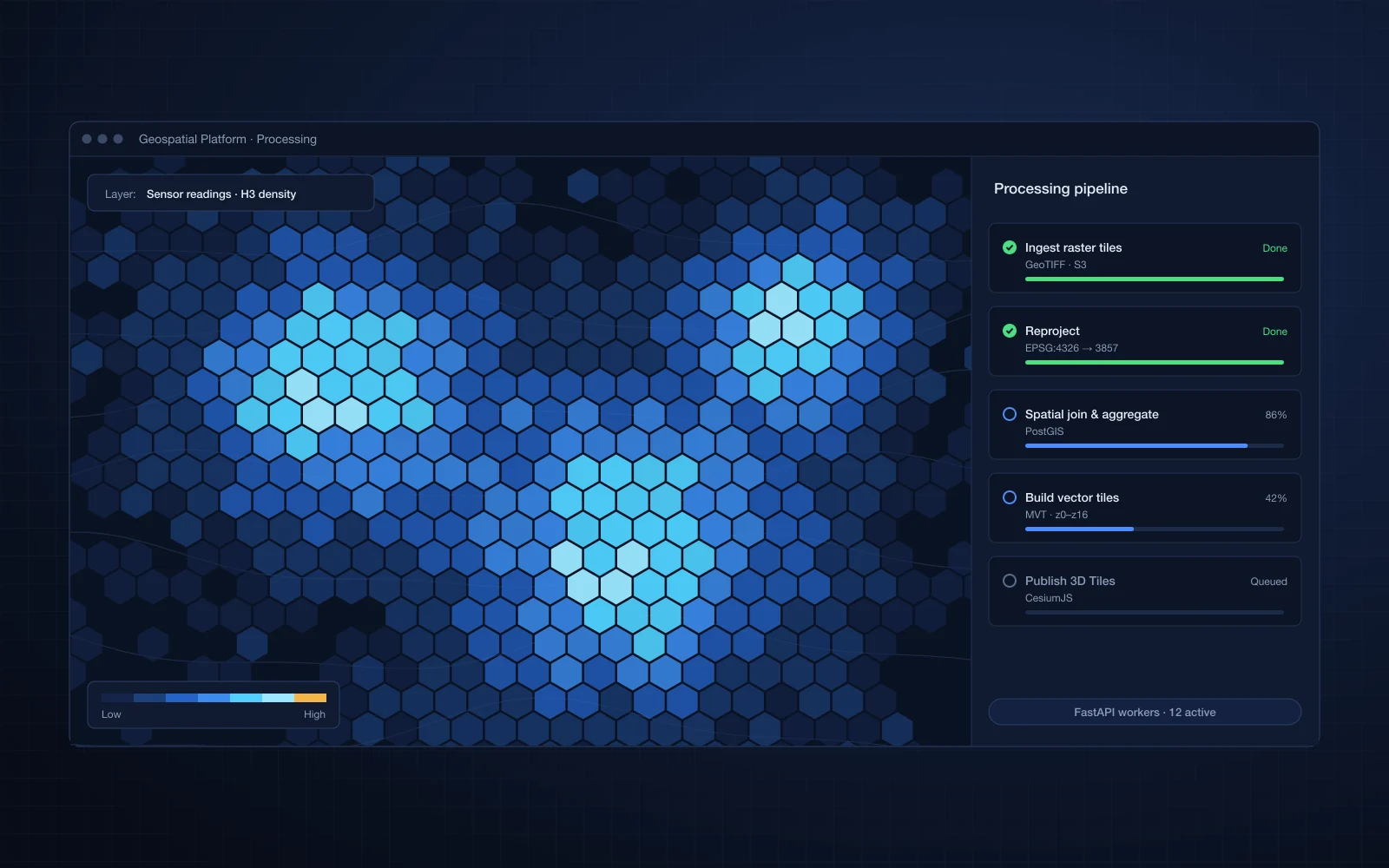
Property data, 3D data and large point sets lived in separate places and were hard to view in context. Each data type suits a different rendering approach. Map libraries handle 2D layers well, 3D engines handle models, and large point sets need GPU-efficient rendering to stay interactive. Combining them in one view without slowing the map was the hard part.
Our solution
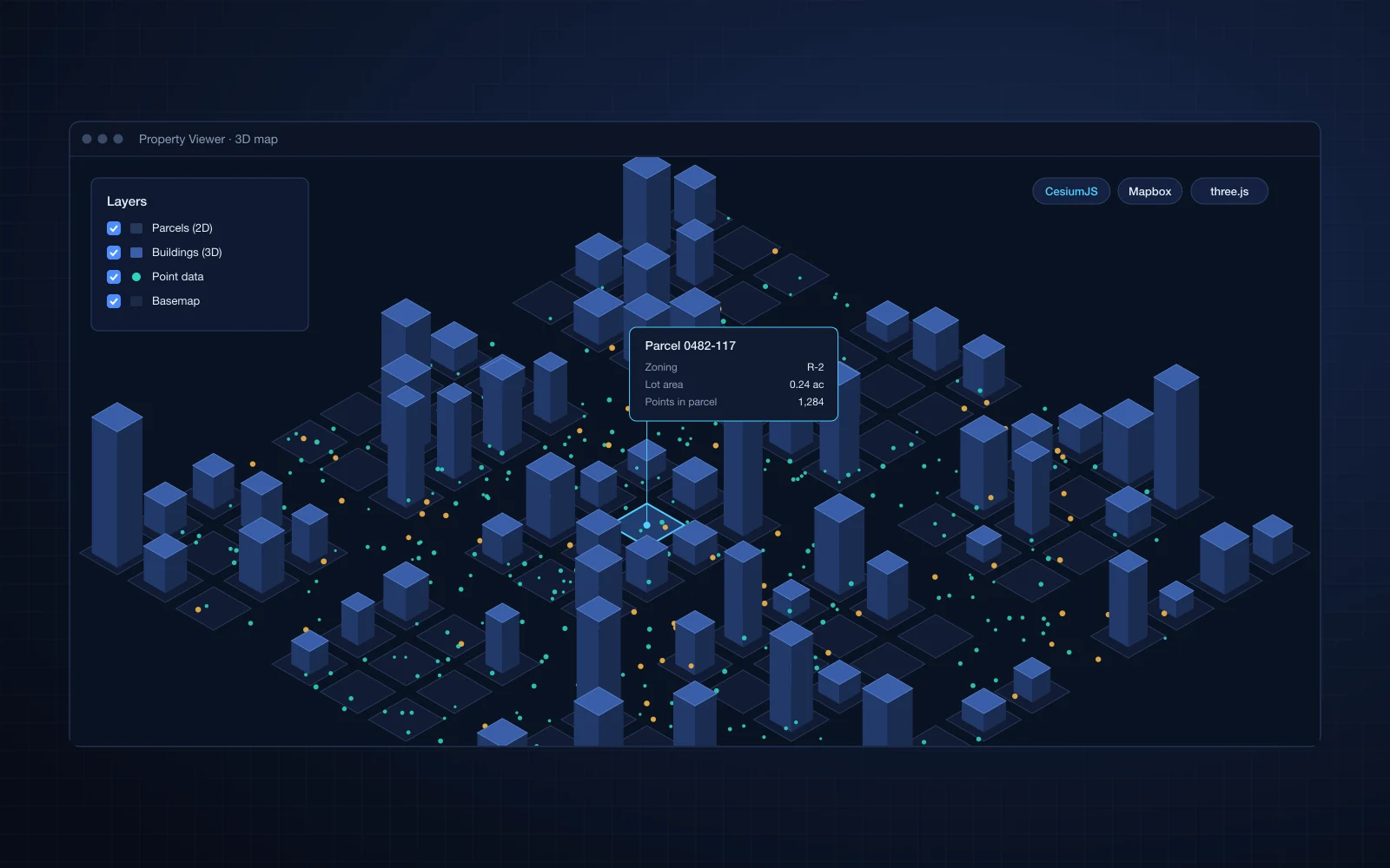
We built rendering pipelines that combine 2D property layers, 3D data and large point sets on one interactive map. CesiumJS and three.js render the 3D data in geographic context, and Mapbox renders the large point sets efficiently.
- 2D property data on the map
- 3D data rendered in context with CesiumJS and three.js
- Large point sets rendered efficiently on Mapbox
- Spatial data integration so all layers line up in one view
Business impact
- Users see a property, its 3D context and the surrounding point data together, without switching between tools
- Analysts read location patterns in large point sets that tables alone would hide
- The client offers a richer, more visual map product to its own customers
- One integrated view gives a base for adding new property and 3D layers later