Business context
The client is a network solutions company in the USA that serves 5G network operators and the tenants of the buildings they cover. A 5G network is both physical equipment and virtual network functions, and its device data is rarely linked to the buildings, floors and sites the devices sit in. Without that link, operators cannot see how the network performs where people actually use it.
The challenge
The client needed a digital twin platform to manage the operation of a 5G network, covering both its physical and its virtual assets. Site data arrives in many 2D and 3D formats, from CAD drawings to GIS layers and packaged geodata. Device and tenant data had to be tied to real places, and the full 3D scene had to stay fast in a browser at network scale.
Our solution
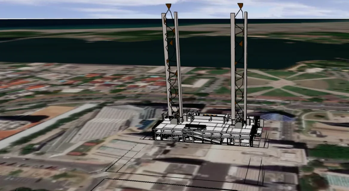
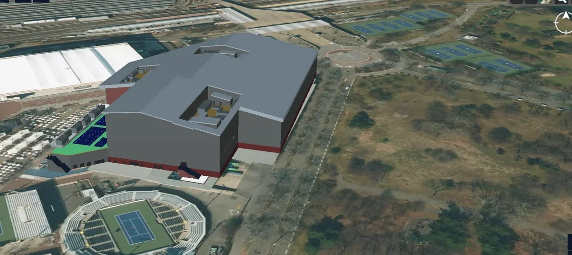
We built an end-to-end platform on CesiumJS, PostGIS, FastAPI and React that brings network assets, data and analytics into one 3D geospatial view. Buildings and spaces follow the open RealEstateCore ontology, and 3D content streams as 3D Tiles.
- Support for the RealEstateCore ontology
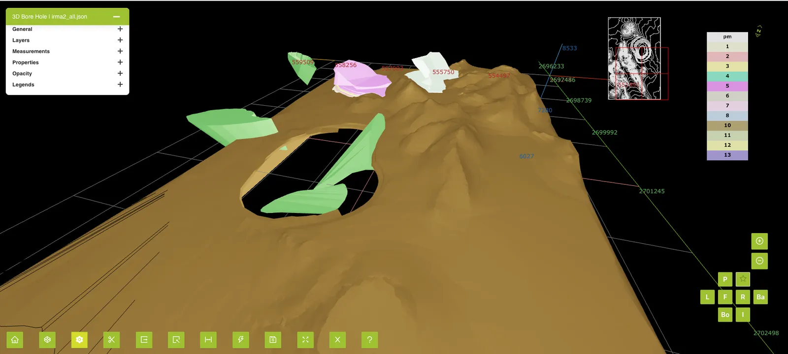
- Tools to onboard 2D and 3D geospatial data, including DXF, DWG, PKG and SHP
- Geospatial search
- 3D rendering on the map with 3D tilesets
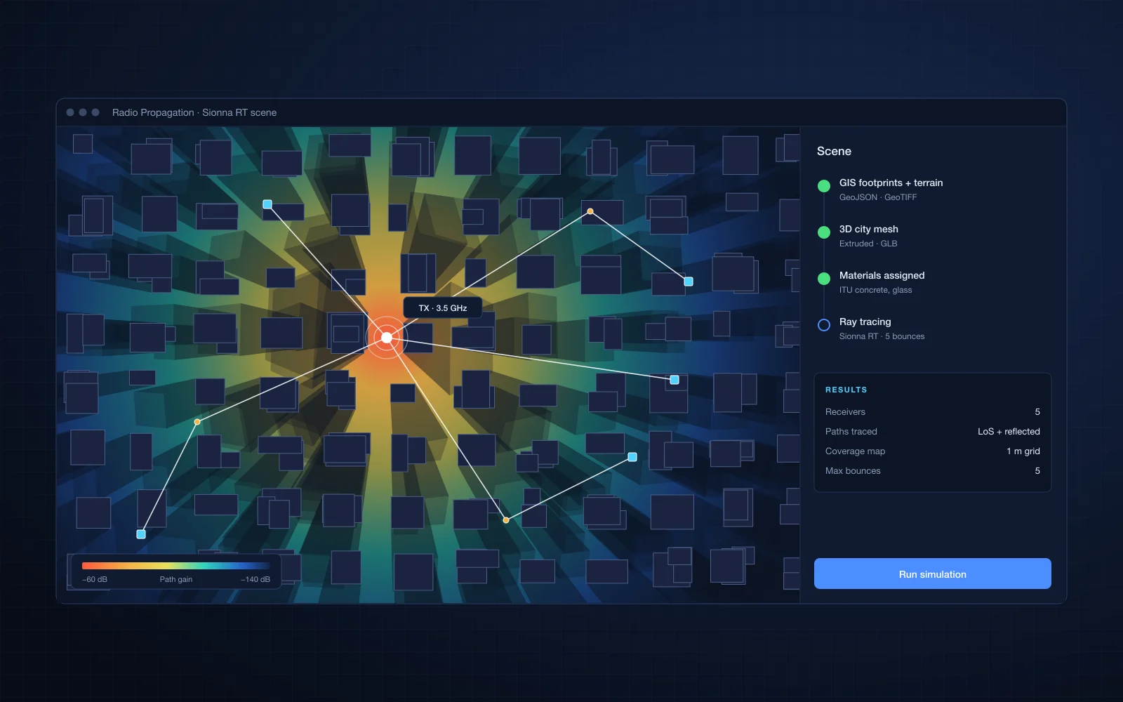
- Heatmaps and simulation of network coverage
- Device health, device information and device analytics
- Tenant analytics and multi-tenancy
Business impact
Deep insight into the quality of the network connectivity experience.
- Operations teams find and diagnose a failing device in its real location, not in a spreadsheet of IDs
- Planners check coverage against real buildings before adding or moving equipment
- Multi-tenancy lets the client serve several customers from one platform
- Open standards keep the client's data portable to other building and smart city systems