Business context
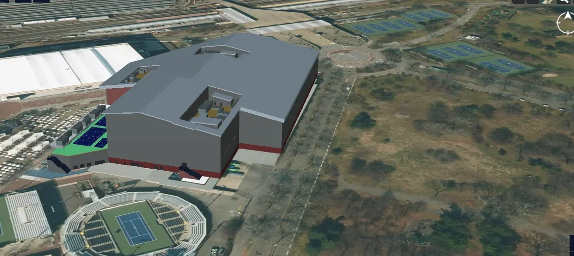
The client builds telecom network planning software. Radio propagation simulation predicts how signals travel through a city, which informs network planning. The client's GIS data described terrain, buildings and roads, but it was not usable as simulation geometry: a physics solver needs 3D meshes with materials.
The challenge
The client wanted to simulate radio propagation with NVIDIA Sionna RT. That needs accurate 3D models of terrain, buildings, roads, bridges and railways, generated from GIS data. Building footprints are flat, and every feature has to become valid geometry that a ray tracer can hit and reflect from. Custom buildings from other sources also had to fit into the same scene.
Our solution
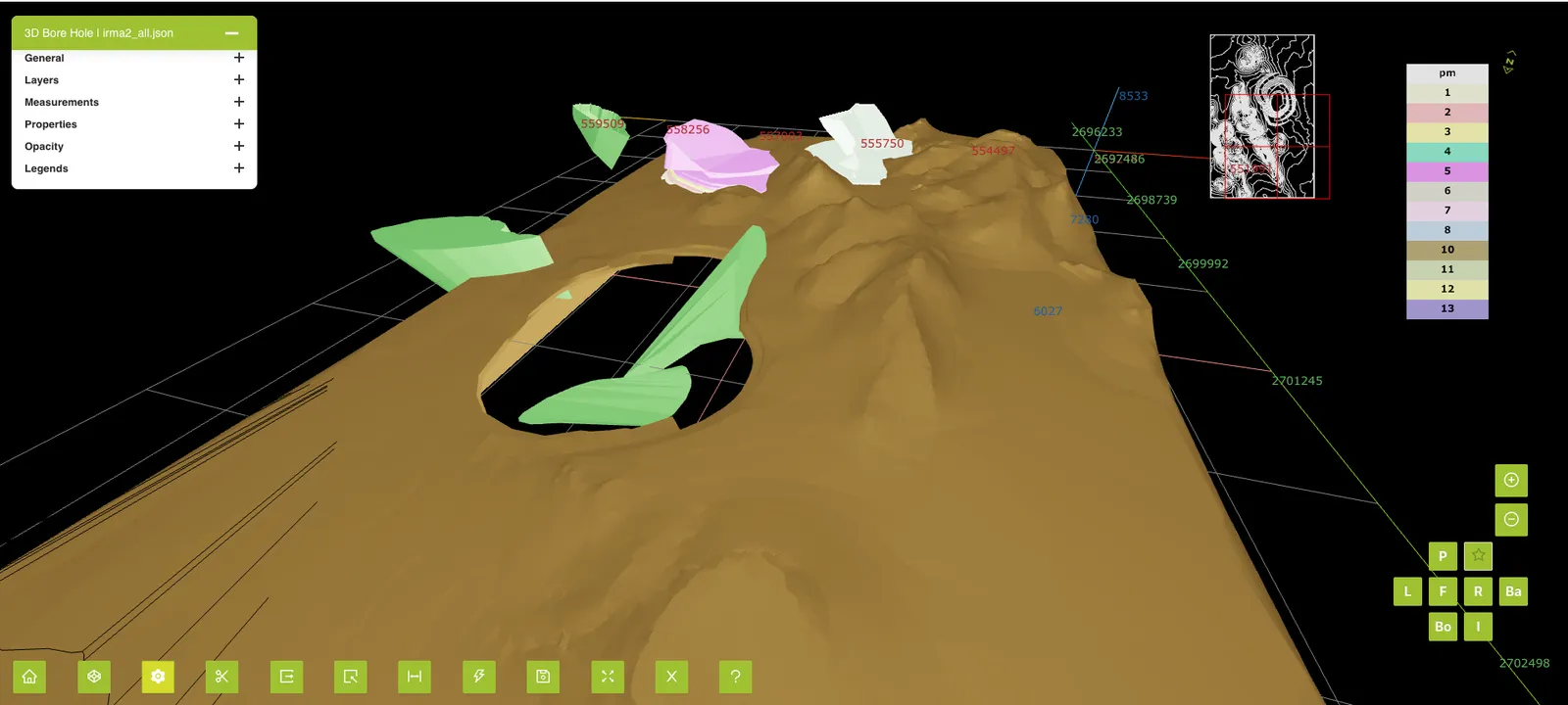
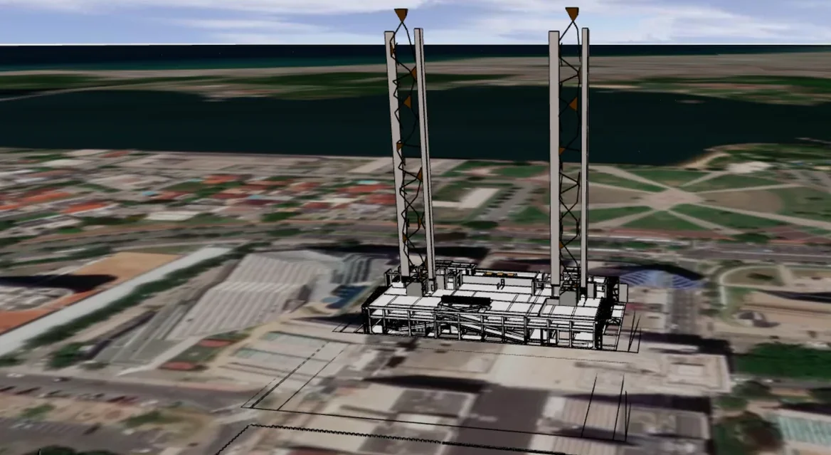
We built a pipeline that generates 3D meshes from GIS terrain data together with buildings, roads, bridges and railways. Computational geometry turns buildings into shelled, extruded solids with wall thickness. Custom GeoJSON and GLB data can be added, and materials assigned, before the simulation runs.
- Terrain mesh generation from GIS data
- Buildings as shelled extruded solids with wall thickness
- Roads, bridges and railways in the same scene
- Custom GeoJSON multi-floor buildings and GLB building meshes
- Material assignment for physics-based propagation
- Simulation runs with NVIDIA Sionna RT
Business impact
- Network planners run physics-based simulations on real-world city geometry, not simplified boxes
- Simulation scenes come from GIS data the client already holds, with no hand modeling per site
- Multi-floor buildings bring indoor detail into the same scene as the outdoor city
- The client's planning product gains a simulation capability built on NVIDIA Sionna RT