Business context
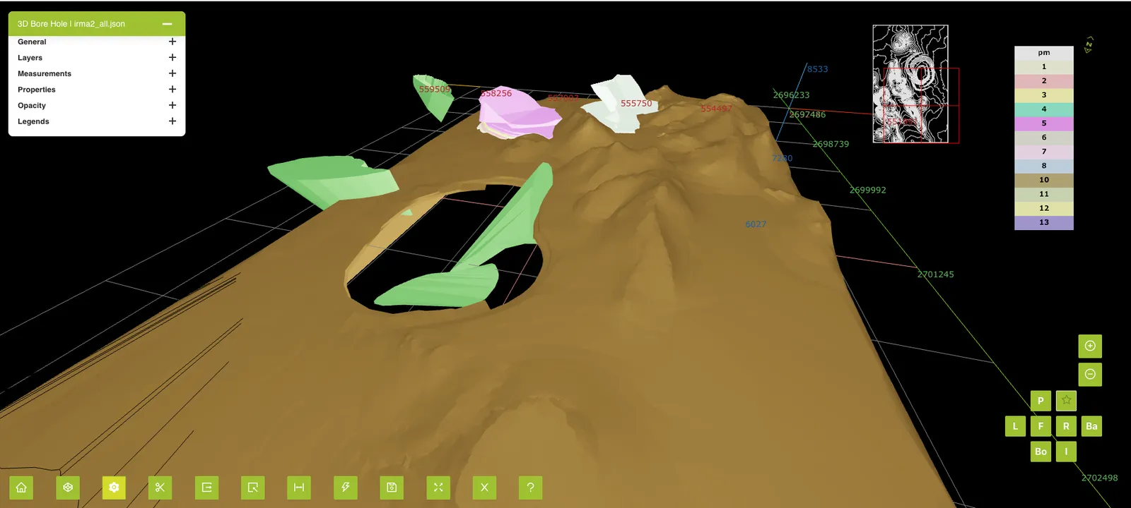
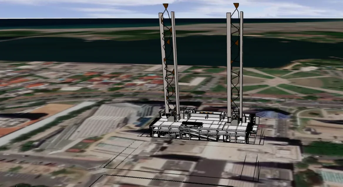
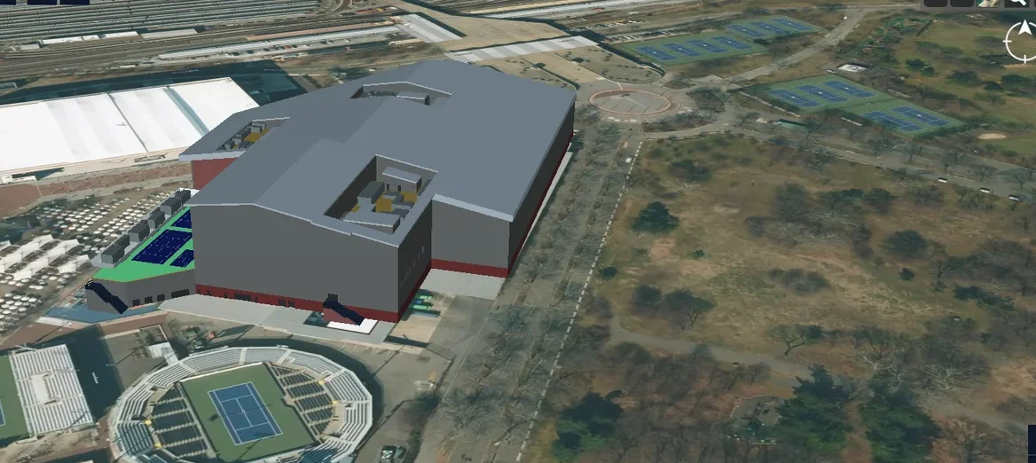
The client is a reality capture company. Its customers in AEC, construction, mining and survey capture sites as point clouds and want to review them in a web browser. Point cloud data was too heavy for web use, so getting captured sites in front of those teams online was at stake.
The challenge
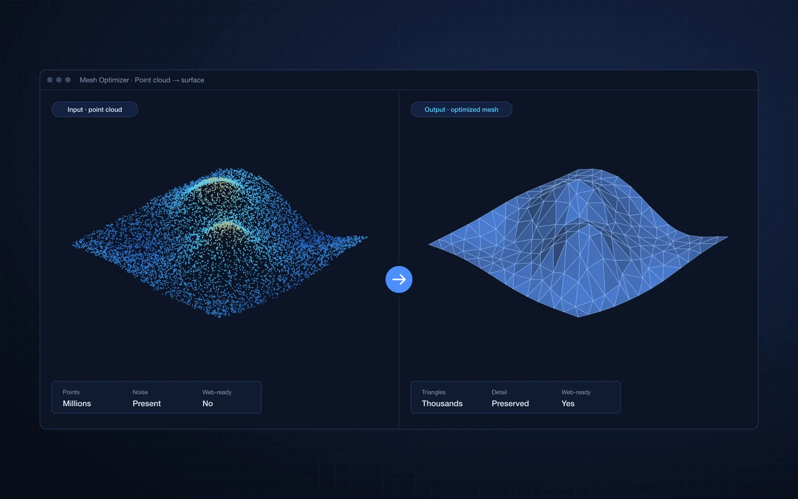
Meshes built from point clouds were too heavy to render on the web. Simple decimation cut the polygon count but lost the shape that mattered. Reducing size while keeping surface quality needed real computational geometry, not just a smaller file.
Our solution
We built geometry processing software that turns point cloud data into high-quality surface meshes with a much lower polygon count. It combines computational geometry and mesh simplification algorithms with OpenCascade, and outputs meshes tuned for WebGL rendering.
- Surface mesh generation from point clouds
- Mesh simplification that preserves important shape
- OpenCascade-based geometry processing
- Meshes optimized for WebGL rendering
Business impact
- Survey, construction and mining teams can review captured sites in a browser, without desktop software
- End users get lighter models that load and respond faster on everyday hardware
- The client can offer web delivery of captured sites as part of its own product
- Engineers keep the surface detail they need to judge the site, even in the reduced model