
RVT / IFC3D Tiles
Revit and IFC to 3D Tiles: streaming BIM models in the browser
How to convert Revit and IFC models into OGC 3D Tiles that stream in a web viewer, with BIM properties kept.
The problem
Why this conversion is hard
- BIM models are large and detailed. Loading a whole model in the browser is slow or fails outright.
- RVT is a closed format that only Revit can open, so it needs a conversion step first.
- Viewers that strip BIM properties lose what makes the model useful: element type, level, material and IDs.
Our approach
How we do it
- 01
Revit to IFC
RVT files are exported to IFC through Autodesk Platform Services, so no desktop Revit is needed.
- 02
IFC to glTF
Geometry is tessellated into glTF, with an element ID on every mesh and the BIM properties stored alongside.
- 03
Tile
The model is split into a spatial hierarchy of tiles with levels of detail, described by a tileset.json.
- 04
Stream and query
The viewer streams only the visible tiles, and clicking an element looks up its properties by ID.
Example
A short working example
A starting point to show the idea. Production pipelines add validation, tiling and error handling around it.
# Tessellate IFC to binary glTF with IfcOpenShell
IfcConvert building.ifc building.glb

# tileset.json: 3D Tiles 1.1 can reference glTF content directly
{
  "asset": { "version": "1.1" },
  "geometricError": 200,
  "root": {
    "boundingVolume": { "box": [0, 0, 20,  60, 0, 0,  0, 40, 0,  0, 0, 20] },
    "geometricError": 0,
    "refine": "REPLACE",
    "content": { "uri": "building.glb" }
  }
}
Pitfalls
What usually goes wrong
- A single tile is a start, not the goal: split large models by storey or spatial grid.
- IFC uses a Z-up coordinate system and glTF uses Y-up. Apply the axis conversion once.
- Keep IFC GlobalIds as feature IDs so properties survive the conversion.
- Read IfcMapConversion or IfcSite to place the model in real-world coordinates.
Case studies
Where we have done this

GIS / Urban planning
3D Digital Twins of a City
Import, export and visualization of 3D building digital twins on a GIS map, inside an existing planning product.
Read case study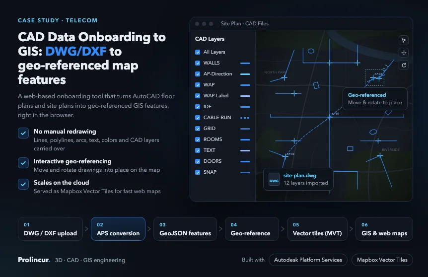
Telecom
CAD Data Onboarding to GIS
AutoCAD DWG and DXF floor and site plans turned into geo-referenced map features with Autodesk Platform Services.
Read case study
Want this done on your own RVT / IFC files?
Our BIM to Web accelerator is fixed scope and fixed price. Start with a free sample file, or talk to an engineer.