Data that will not load
Region-scale datasets slow maps down unless they are processed and tiled properly.

We build geospatial platforms that ingest, process, tile and serve large spatial datasets, and render them in 2D and 3D in the browser.
Problems it solves
Region-scale datasets slow maps down unless they are processed and tiled properly.
Terrain, buildings and data layers live in separate tools instead of one view.
Shapefiles, GeoJSON, CityGML, GeoTIFF and CAD drawings all need to work together.
Users without GIS training struggle to get answers from spatial data.
What we deliver
Delivered as a module inside your existing product, in your codebase and with your team.
Ingestion, cleaning and reprojection of large and varied datasets.
Vector tiles, 3D Tiles and terrain from GeoTIFF, served fast.
Interactive maps and 3D scenes with CesiumJS, Mapbox, OpenLayers or three.js.
MCP servers and conversational interfaces that answer questions about GIS data.
Case studies
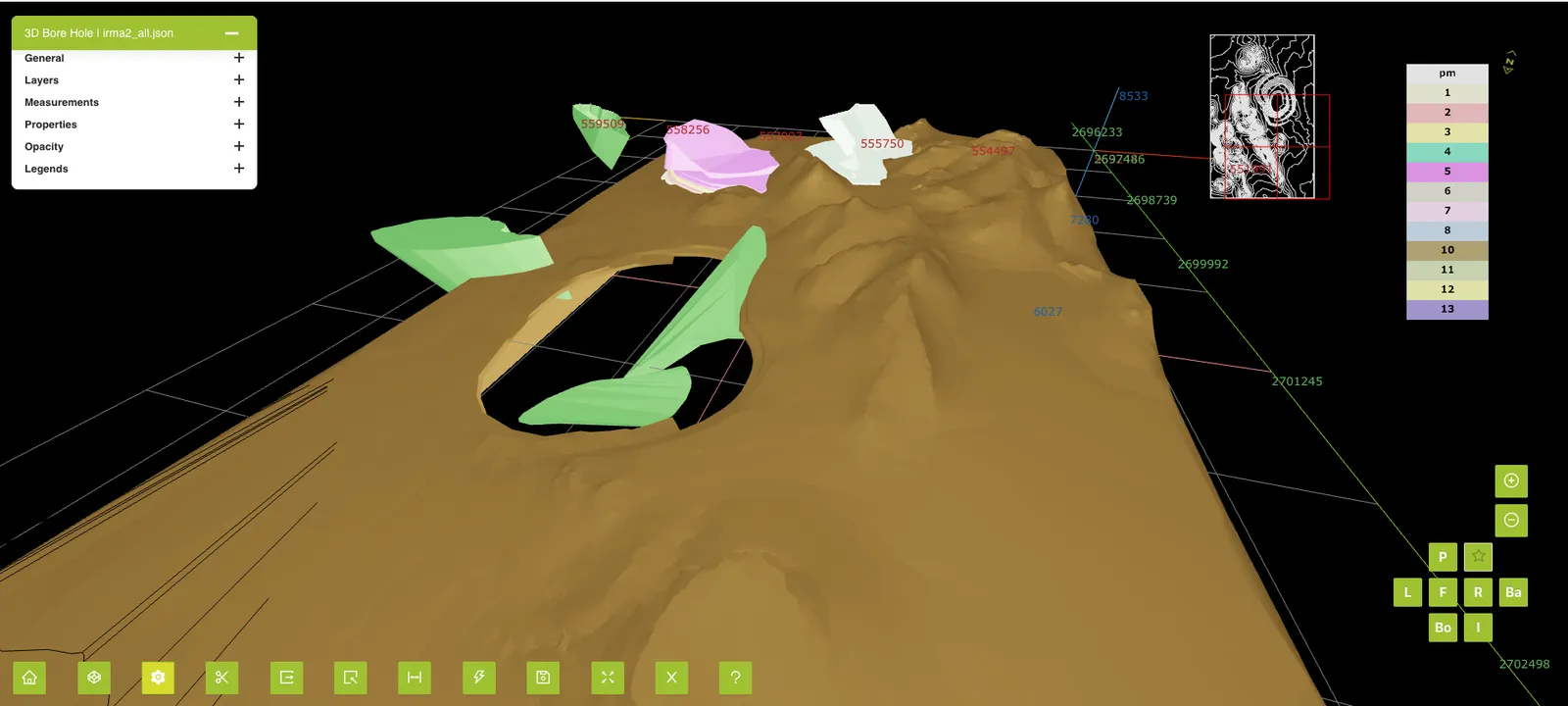
Mining
A browser-based 4D viewer that plays mine plans and actual progress back over time.
Read case study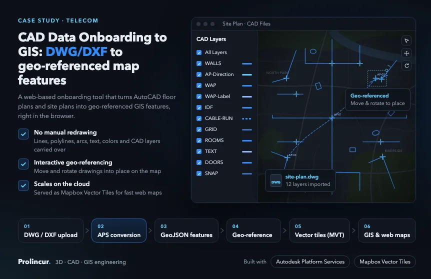
Telecom
AutoCAD DWG and DXF floor and site plans turned into geo-referenced map features with Autodesk Platform Services.
Read case study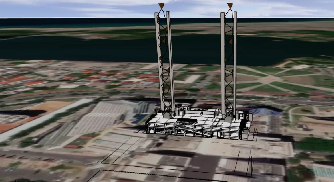
GIS / Urban planning
Import, export and visualization of 3D building digital twins on a GIS map, inside an existing planning product.
Read case study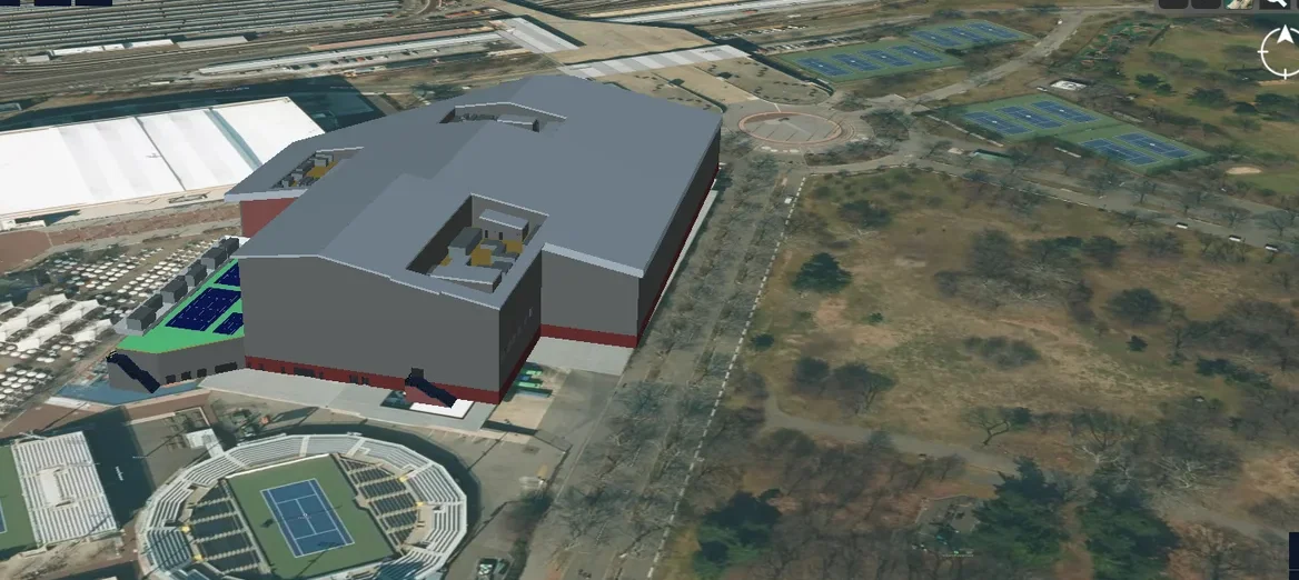
Telecom
An end-to-end platform to manage the physical and virtual assets of a 5G network in a 3D geospatial environment.
Read case study
Telecom
3D city meshes generated from GIS data for physics-based radio propagation simulation with NVIDIA Sionna RT.
Read case study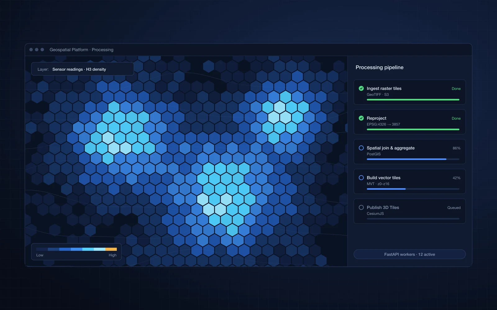
GIS / Urban planning
Large geospatial datasets processed, analyzed and rendered in an interactive web application.
Read case study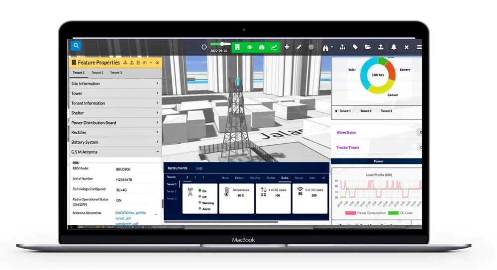
Telecom
A SaaS digital twin to monitor and manage telecom towers, site equipment and their performance in 3D, alongside operational data.
Read case study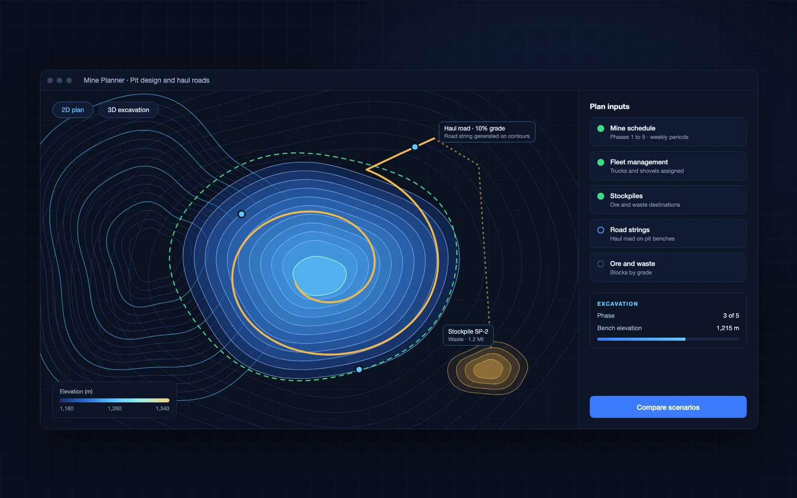
Mining
A map-based tool that links the main mine planning inputs into one design and planning workflow.
Read case study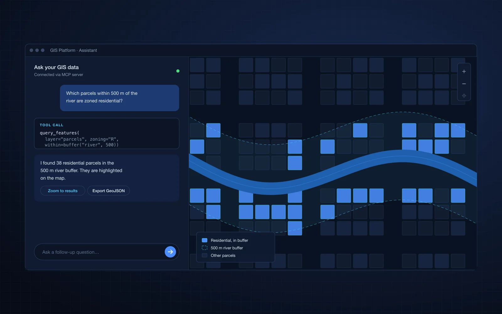
GIS / Urban planning
Existing GIS data and analytics exposed as an MCP server, with a conversational interface in the product.
Read case study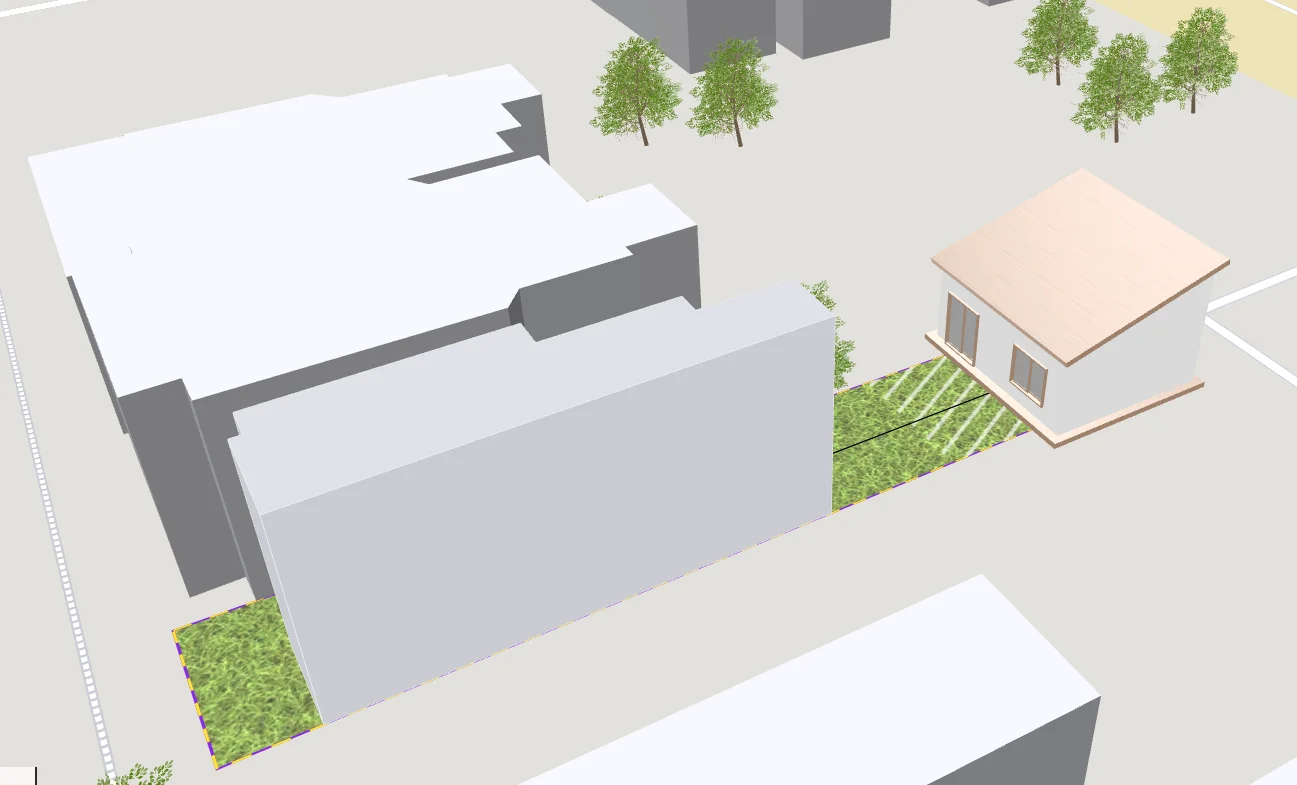
AEC / Construction
A web app to visualize and design house extensions that automatically respect local regulations.
Read case study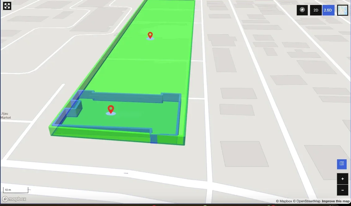
GIS / Urban planning
A Mapbox drawing and editing tool to create, import and manage custom real estate features on a map.
Read case study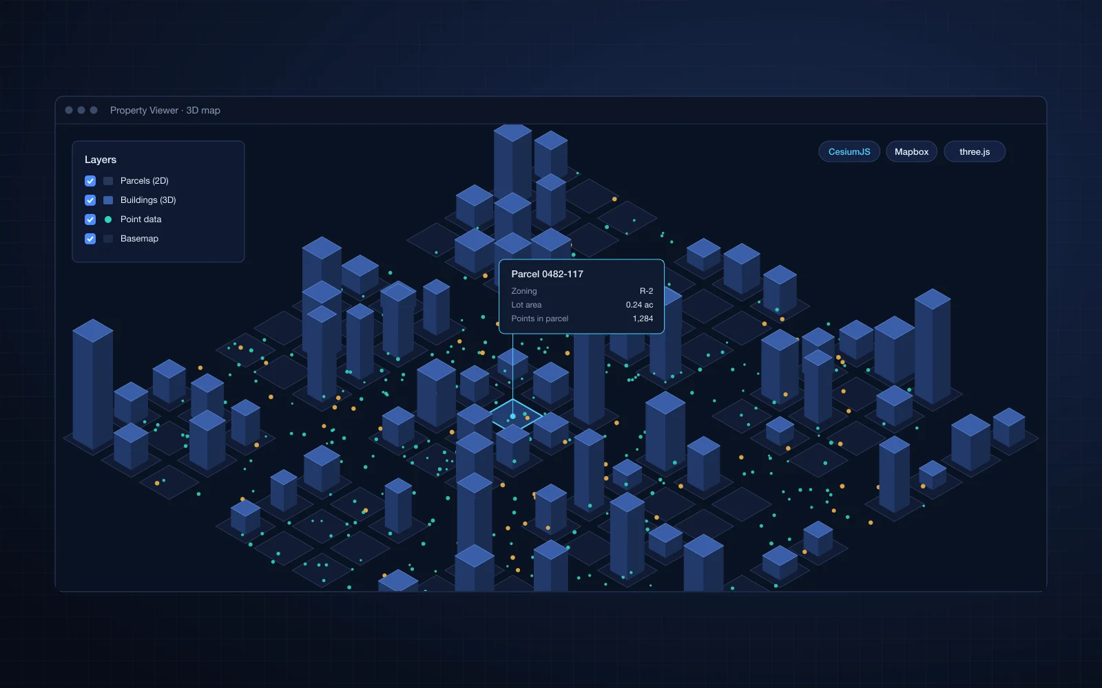
GIS / Urban planning
3D data, 2D property data and large point sets rendered together on maps for a USA-based client.
Read case studyTechnologies and formats
Industries
How we deliver
30 minutes with an engineer, under NDA if you need one.
1 to 3 weeks: requirements workshop, code and data review, and a proof of concept for the risky parts.
Phased plan, team, estimate and engagement model.
Two to three week iterations, with a demo every sprint.
FAQ
CesiumJS, Mapbox, OpenLayers and three.js, chosen to fit your product and data.
Often, yes. Changes to tiling, indexing and rendering can make large datasets feel fast again.
Yes. For example, three-tiles-loader brings OGC 3D Tiles into three.js.
Tell us about the module you need. You will talk to an engineer from the first call.